Login

Zapomniałeś swój login?

Cookies have to be accepted!
Your browser's cookie functionality is disabled. Please enable this functionality.

Not a member yet?

Register now
Login

Available for registred users only

Log in to use this feature.

Zapomniałeś swój login?

Cookies have to be accepted!
Your browser's cookie functionality is disabled. Please enable this functionality.

Not a member yet?

Register now
Filter
Kategorie
Advanced filters
  • Długość (km)
  • Wysokość
Zapisz filtr Reset filter

TrackRank

QRCode

Technical data

Długość40,4 km Wysokość1200 m Way down1203 m Czas trwania00:00 h:m Data19.06.2011
Oceny Author Krajobraz Czynnik zadowolenia Kondycja Technika

Statystyka

865 Widoki Oceny 203 Downloads / Pliki do pobrania Przeciętnie
Rate
  • Karta trasy
  • Dojazd
  • Downloads / Pliki do pobrania
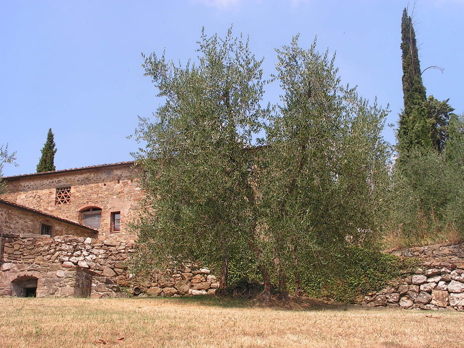
Cette boucle permet de découvrir toute la région de Greve in Chianti, capitale du chianti classico. Le long de crêtes, elle sillonne entre paysages de montagne, sous-bois (Monte San Michele), vignobles et hameaux typiques. Les points de vue sont multiples et la remontée depuis Radda in Chianti est absolument incontournable. Les pauses sont justifiées afin d'apprécier tout cela

Galeria trasy

Mapa trasy i profil wysokości

  • Open Street Map
  • Google
Minimum height 199 m Maximum height 887 m Widok szczegółowy

More about the tour author

jpaguet
Member since 2011

Send private message

Komentarze

GPS tracks

Trackpoints
  • GPX / Garmin Map Source (gpx) download
  • TCX / Garmin Training Center® (tcx) download
  • CRS / Garmin Training Center® (crs) download
  • Google Earth (kml) download
  • G7ToWin (g7t) download
  • TTQV (trk) download
  • Overlay (ovl) download
  • Fugawi (txt) download
  • Kompass (DAV) Track (tk) download
  • Karta trasy (pdf) download
  • Original file of the author (gpx) download

More about the tour author

jpaguet
Member since 2011

Send private message
Share track
Add to my favorites
Remove from my favorites
Edit tags
My score
Rate
Trasa: Greve in Chianti
Rodzaj: Rower górski (MTB)
Długość: 40,4 km
Evaluated on:
Czas trwania:
Day(s)
Hour(s)
Minute(s)
Ocena: Krajobraz Czynnik zadowolenia Kondycja Technika