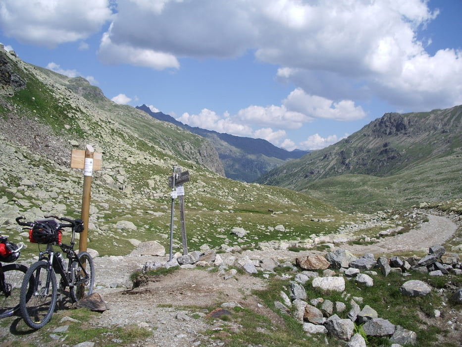
Die Tour wurde 2006 ohne GPS gefahren
Die GPS Daten wurden nachträglich zusammengestellt
Vorsicht, ein Teilstück hat keine geographischen Punkte, diese Teilstück muss beim übertragen auf das Gerät abgetrennt werden sonst funzt das nicht, zumindest bei mir nicht.
1.Tag 53 km 1724 hm
Start in Oberstdorf – Arlberpass – Flexenpass – Skt. Anton – Schönverwalltal – Konstanzer Hütte.
2.Tag 72 km 2003 hm
Konstanzer Hütte – Schonverwalltal – Heidelberger Hütte – Kops Stausee – Galltür – Ischgl – Fimbatal – Fimba Pass – Sent.
3. Tag 71 km 1915 hm
Sent – Scuol – S-Carl - Pass De Costainas – Lü – Val Mora – Döss Radont – Fraele – Villa Valania
4. Tag 62 km 1707 hm
Villa Valania – Paso Verva – Grosio – Val di Rezzalo – La Baita
5. Tag 33km 949 hm
La Baita – Paso del Alpe – Paso Gavia – Pregasaclio
6. Tag 61 km 1507 hm
Pregasaclio – Passo Tonale – Ozzana – Dimaro – Madonna di Campiglio
7. Tag 72 km 1128 hm
Mad. D. Camp. – Lago Val di Agola – Passo del Ors – Malga Moldiva - Stenico – Bondo – Storo.
8. Tag 81km 1921 hm
Storo – Passo Tremalzo – Riva – Torbole – Rovereto.
9. Tag 40 km 20 hm
Rovereto – Brenner – Insbruck ( Übernachtung)
10. Tag Bahnfahrt
Insbruck – Seefeld - Mittenwald – Vorderriß( Garmisch)
Galeria trasy
Mapa trasy i profil wysokości
Komentarze

GPS tracks
Trackpoints-
GPX / Garmin Map Source (gpx) download
-
TCX / Garmin Training Center® (tcx) download
-
CRS / Garmin Training Center® (crs) download
-
Google Earth (kml) download
-
G7ToWin (g7t) download
-
TTQV (trk) download
-
Overlay (ovl) download
-
Fugawi (txt) download
-
Kompass (DAV) Track (tk) download
-
Karta trasy (pdf) download
-
Original file of the author (gpx) download


