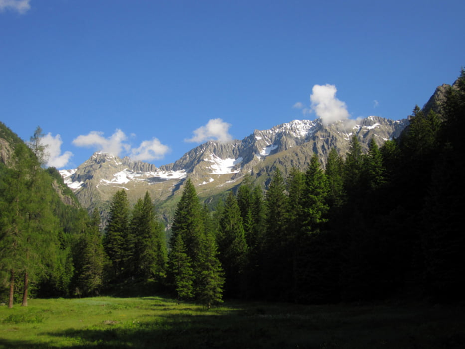
Bike &Hike am Adamello
Hier kann man herrlich das Genova Tal hochradeln und anschließend mit der getrackten Tour
"Tour #70593: Auf dem Weg zum Adamello" verbinden. Ich war im Frühsommer da und habe weiter oben Gamaschen, Steigeisen und Eispickel zur Hilfe genommen.
Der Weg bis zur letzten Hütte ist meist Asphlatiert, das letzte Stück ist Schotterpiste.
Further information at
http://www.freesolo-cyclist.comGaleria trasy
Mapa trasy i profil wysokości
Minimum height 869 m
Maximum height 1698 m
Komentarze

GPS tracks
Trackpoints-
GPX / Garmin Map Source (gpx) download
-
TCX / Garmin Training Center® (tcx) download
-
CRS / Garmin Training Center® (crs) download
-
Google Earth (kml) download
-
G7ToWin (g7t) download
-
TTQV (trk) download
-
Overlay (ovl) download
-
Fugawi (txt) download
-
Kompass (DAV) Track (tk) download
-
Karta trasy (pdf) download
-
Original file of the author (gpx) download
Add to my favorites
Remove from my favorites
Edit tags
Open track
My score
Rate


