Login

Zapomniałeś swój login?

Cookies have to be accepted!
Your browser's cookie functionality is disabled. Please enable this functionality.

Not a member yet?

Register now
Login

Available for registred users only

Log in to use this feature.

Zapomniałeś swój login?

Cookies have to be accepted!
Your browser's cookie functionality is disabled. Please enable this functionality.

Not a member yet?

Register now
Filter
Kategorie
Advanced filters
  • Długość (km)
  • Wysokość
Zapisz filtr Reset filter

TrackRank

QRCode

Technical data

Długość15,3 km Wysokość239 m Way down215 m Czas trwania04:30 h:m Data23.06.2011
Oceny Author Krajobraz Czynnik zadowolenia Kondycja Technika

Statystyka

1656 Widoki Oceny 81 Downloads / Pliki do pobrania Przeciętnie
Rate
  • Karta trasy
  • Dojazd
  • Downloads / Pliki do pobrania
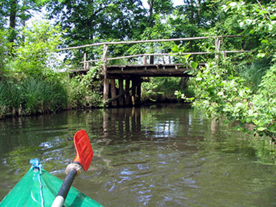
Wie jedes Jahr am Fronleichnam-Wochenende sind wir auch diesmal in den Spreewald gefahren. Alles war wie immer: Übernachtung auf dem Wasserwanderplatz in Groß Wasserburg und die Paddeltour nach Schlepzig mit Einkehr in die Brauerei. Aber zwei Dinge waren dieses Mal anders: Uwe ist nach seiner Kreuzband-OP noch an Krücken gelaufen und während unserer Anreise hat es stark gestürmt. Dabei sind im Spreewald einige Bäume umgefallen, welche die Paddelmöglichkeiten stark eingeschränkt haben.

Mapa trasy i profil wysokości

  • Open Street Map
  • Google
Minimum height 23 m Maximum height 108 m Widok szczegółowy

More about the tour author

biauwe
Member since 2008

Send private message

Komentarze

GPS tracks

Trackpoints
  • GPX / Garmin Map Source (gpx) download
  • TCX / Garmin Training Center® (tcx) download
  • CRS / Garmin Training Center® (crs) download
  • Google Earth (kml) download
  • G7ToWin (g7t) download
  • TTQV (trk) download
  • Overlay (ovl) download
  • Fugawi (txt) download
  • Kompass (DAV) Track (tk) download
  • Karta trasy (pdf) download
  • Original file of the author (gpx) download

More about the tour author

biauwe
Member since 2008

Send private message
Share track
Add to my favorites
Remove from my favorites
Edit tags
My score
Rate
Trasa: Paddeltour nach Schlepzig
Rodzaj: Łodzi i kajaków
Długość: 15,3 km
Evaluated on:
Czas trwania:
Day(s)
Hour(s)
Minute(s)
Ocena: Krajobraz Czynnik zadowolenia Kondycja Technika