


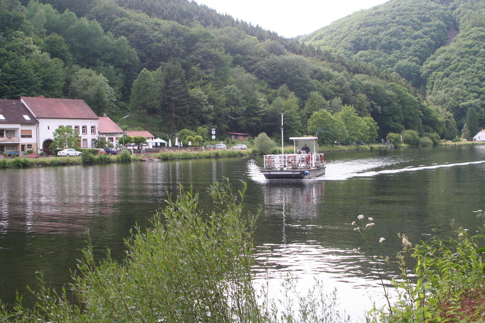
sehr schöne Tour im Herzen des Saarlandes, so wie man das Saarland nicht kennt. Kleine Abweichung vom SHS z. B. die Burg Montclair, Steinebachtal.
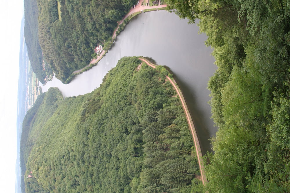
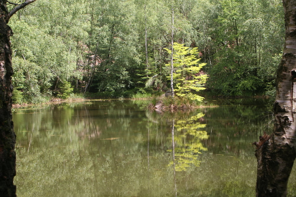
Sehr schöne Laubwälder, viele Flüsse und Bäche, fast keine Teerstrasse. Viele Pfade, deshalb relativ langsam unterwegs. Viele Aussichtspunkte, Herrgottstein, Sinnesbank, Stausee Losheim, Bärenfelsen, Heberloch, Hochwald Alm, Weinberge u.v.m.
Tourenhotels (2 Transfers)
Bio-Hotel Schons (Mettlach), Seehotel Losheim, Grimburger Hof, Seehotel (Kell am See), Karlsmühle (Mertesdorf), Casa Chiara (Trier)
Galeria trasy
Mapa trasy i profil wysokości
Minimum height 131 m
Maximum height 640 m
More about the tour author

|
eniliph |
Komentarze

Anreise mit dem Auto nach Mettlach über Trier.
Rückreise mit der Bahn v. Trier nach Mettlach ca. 40 Min.
GPS tracks
Trackpoints-
GPX / Garmin Map Source (gpx) download
-
TCX / Garmin Training Center® (tcx) download
-
CRS / Garmin Training Center® (crs) download
-
Google Earth (kml) download
-
G7ToWin (g7t) download
-
TTQV (trk) download
-
Overlay (ovl) download
-
Fugawi (txt) download
-
Kompass (DAV) Track (tk) download
-
Karta trasy (pdf) download
-
Original file of the author (gpx) download
More about the tour author
|
|
eniliph |
Add to my favorites
Remove from my favorites
Edit tags
Open track
My score
Rate