Login

Zapomniałeś swój login?

Cookies have to be accepted!
Your browser's cookie functionality is disabled. Please enable this functionality.

Not a member yet?

Register now
Login

Available for registred users only

Log in to use this feature.

Zapomniałeś swój login?

Cookies have to be accepted!
Your browser's cookie functionality is disabled. Please enable this functionality.

Not a member yet?

Register now
Filter
Kategorie
Advanced filters
  • Długość (km)
  • Wysokość
Zapisz filtr Reset filter

TrackRank

QRCode

Technical data

Długość44,5 km Wysokość1303 m Way down1282 m Czas trwania00:00 h:m Data26.06.2011
Oceny Author User Krajobraz Czynnik zadowolenia Kondycja Technika

Statystyka

2340 Widoki 2 Oceny 422 Downloads / Pliki do pobrania 2.50 Przeciętnie
Rate
  • Karta trasy
  • Dojazd
  • Downloads / Pliki do pobrania

Leider habe ich mich auf der Suche nach dem Val Cornei in der Nähe von Orco heillos verfahren! 

Deswegen wichtig: Ab Orco den Weg mit der Markierung "Dreieck und zwei Striche" ins Val Nava folgen und nach Boragni folgen. Rückfahrt über Straße. (Erspart jede Menge Schiebefrust im Unterholz und sinnlose Höhenmeter)

... oder eben die Suche nach dem Einstieg ins Val Cornei vollenden!     


Wasserstelle in ORCO an der Kirche
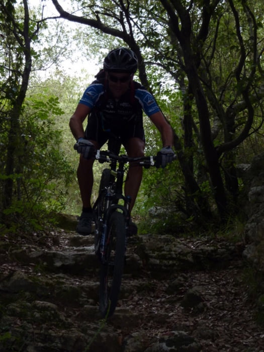
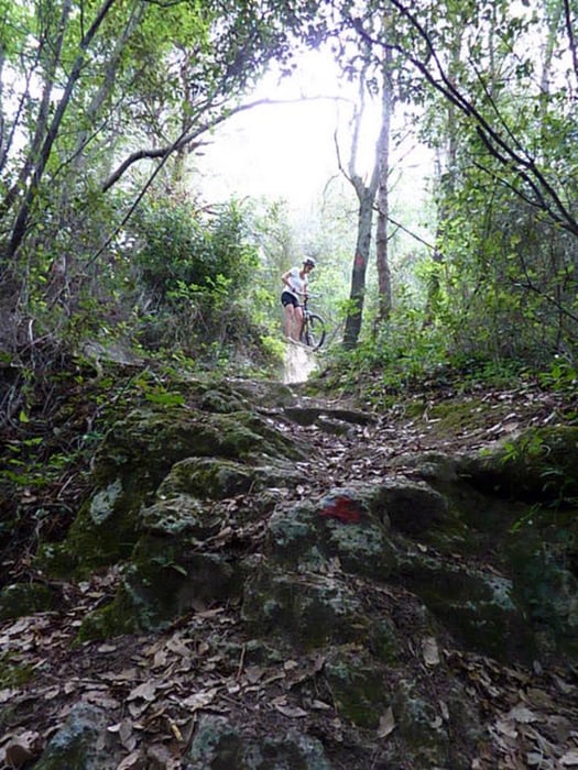
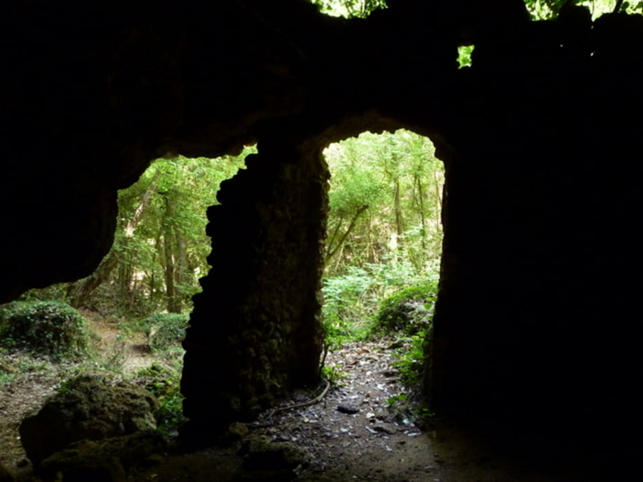
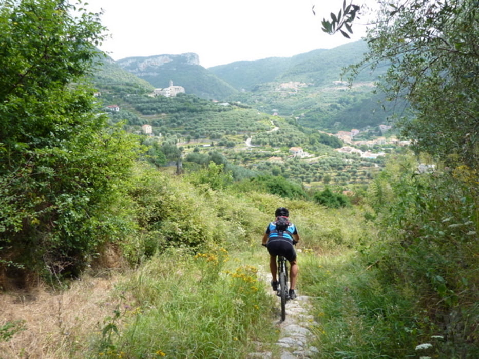
 

Galeria trasy

Mapa trasy i profil wysokości

  • Open Street Map
  • Google
Minimum height -3 m Maximum height 409 m Widok szczegółowy

More about the tour author

CF2008
Member since 2011

Send private message

Komentarze

GPS tracks

Trackpoints
  • GPX / Garmin Map Source (gpx) download
  • TCX / Garmin Training Center® (tcx) download
  • CRS / Garmin Training Center® (crs) download
  • Google Earth (kml) download
  • G7ToWin (g7t) download
  • TTQV (trk) download
  • Overlay (ovl) download
  • Fugawi (txt) download
  • Kompass (DAV) Track (tk) download
  • Karta trasy (pdf) download
  • Original file of the author (gpx) download

More about the tour author

CF2008
Member since 2011

Send private message
Share track
Add to my favorites
Remove from my favorites
Edit tags
My score
Rate
Trasa: San Bernadino-super Trails-Calviso-Orco-Val Nava
Rodzaj: Rower górski (MTB)
Długość: 44,5 km
Evaluated on:
Czas trwania:
Day(s)
Hour(s)
Minute(s)
Ocena: Krajobraz Czynnik zadowolenia Kondycja Technika