


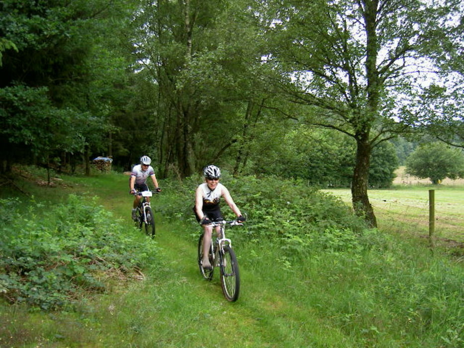
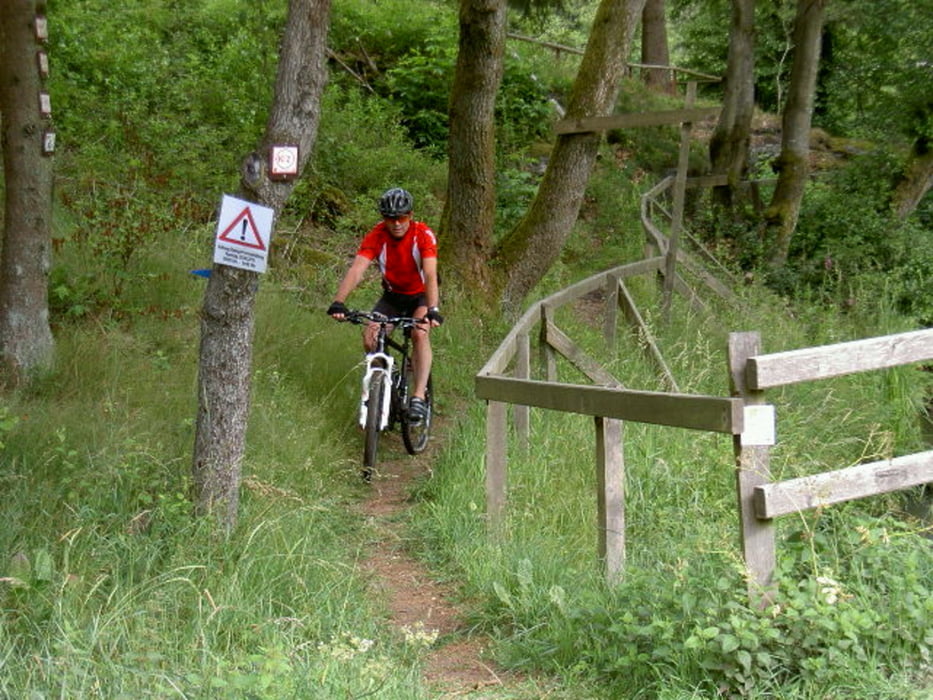
Heute fuhren wir nochmals die tolle CTF in Mandern. Die Streckenführung war mal wieder bestens ausgezeichnet und gab keinerlei Rätsel auf. Eine tolle Abwechslung zwischen knackigen Anstiegen, schnellen Abfahrten und anspruchsvollen Singletrails. Einfach eine tolle Tour zum Nachfahren. Kondition ist allerdings Voraussetzung. Die herrliche und abwechslungsreiche Landschaft hat uns allen ebenfalls sehr gut gefallen. Zu guter letzt war für das leibliche Wohl ebenfalls gesorgt. Man sah nur strahlende Gesichter denen man ansah daß es Ihnen ebenfalls gefallen hat. Wir werden nächstes Jahr auf jeden Fall wiederkommen. Dank auch an den ausrichtenden Verein.
Galeria trasy


Mapa trasy i profil wysokości
Minimum height 266 m
Maximum height 587 m
More about the tour author
|
|
Adler1 |
Komentarze

Von Trier aus kommend fährt man die Pellinger Straße 268 nach Zerf. Von Zerf aus auf der 407 weiter in Richtung Reinsfeld. Nach einigen Kilometern geht es links ab nach Mandern.
GPS tracks
Trackpoints-
GPX / Garmin Map Source (gpx) download
-
TCX / Garmin Training Center® (tcx) download
-
CRS / Garmin Training Center® (crs) download
-
Google Earth (kml) download
-
G7ToWin (g7t) download
-
TTQV (trk) download
-
Overlay (ovl) download
-
Fugawi (txt) download
-
Kompass (DAV) Track (tk) download
-
Karta trasy (pdf) download
-
Original file of the author (gpx) download
More about the tour author
|
|
Adler1 |
Add to my favorites
Remove from my favorites
Edit tags
Open track
My score
Rate