


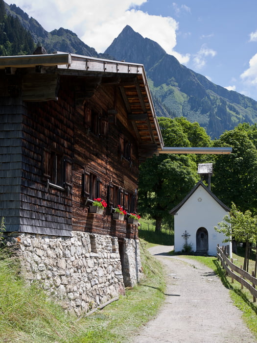
Die Tour ins Dietersbachtal ist vor allem landschaftlich sehr reizvoll, da sie an der Alpe Gerstruben mit jahrhunderte alten Holzhäusern vorbei in ein idyllisches Tal führt.
Tourbeschreibung
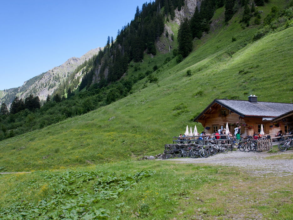
Vom Parkplatz fährt folgt man links immer der Beschilderung Richtung Gashof Gerstruben. Nach Kurzem fürt ein ca. 2 km langer steiler Aufstieg auf Teerstaße bis zum Gasthof. Man fährt nun weiter an der idyllischen Alpe Gerstruben vorbei bis zur Alpe Dietersbach. Nach Rast geht es auf gleichem Weg zurück.
Rastmöglichkeiten
- Gasthof Gerstruben
- Alpe Dietersbach
Fazit
- Sehr schöne Tour vorbei an der alten Alpe bis zum Talschluß am Fuße der Höfats
- In den Ferien und an Wochenenden recht frequentiert
Galeria trasy


Mapa trasy i profil wysokości
Minimum height 805 m
Maximum height 1305 m
More about the tour author
|
|
Erdbert |
Komentarze

Auf der B12 Richtung Oberstdorf fahren. man folg der Beschilderung Richtung Nebelhornbahn. Man fährt am Parkplaz Nebelhornbahn vorbei bis zum Parkplatz Oybelehalle (gebührenpflichtig).
GPS tracks
Trackpoints-
GPX / Garmin Map Source (gpx) download
-
TCX / Garmin Training Center® (tcx) download
-
CRS / Garmin Training Center® (crs) download
-
Google Earth (kml) download
-
G7ToWin (g7t) download
-
TTQV (trk) download
-
Overlay (ovl) download
-
Fugawi (txt) download
-
Kompass (DAV) Track (tk) download
-
Karta trasy (pdf) download
-
Original file of the author (gpx) download
More about the tour author
|
|
Erdbert |
Add to my favorites
Remove from my favorites
Edit tags
Open track
My score
Rate