

Stationen:
Pfunds-Dorf (Parkplatz am ersten Kreisverkehr) - zum Einrollen Richtung Pfunds/ Kajetansbrücke - dann bergauf, Via Claudia Augusta queren (heute: B180 ;-)) - durch Brunnwald - durch Ulrichswald - dann entlang des Radurschlbachs bergauf - Ulrichskapelle - Radurschlalm. Rückweg dann diretissima zum Parkplatz ohne Schleife nach Pfunds (auf Hauptweg bleiben).
Briefing:
Weitestgehend gut befestigte Wege, an Sonn- und Feiertagen nicht zu empfehlen, da weniger sportliche Zeitgenossen mit PKW denselben Hauptweg zur Radurschlalm/ Hohenzollernhaus nutzen! Empfehlung Radurschlalm: Jausenteller und frische Milch!
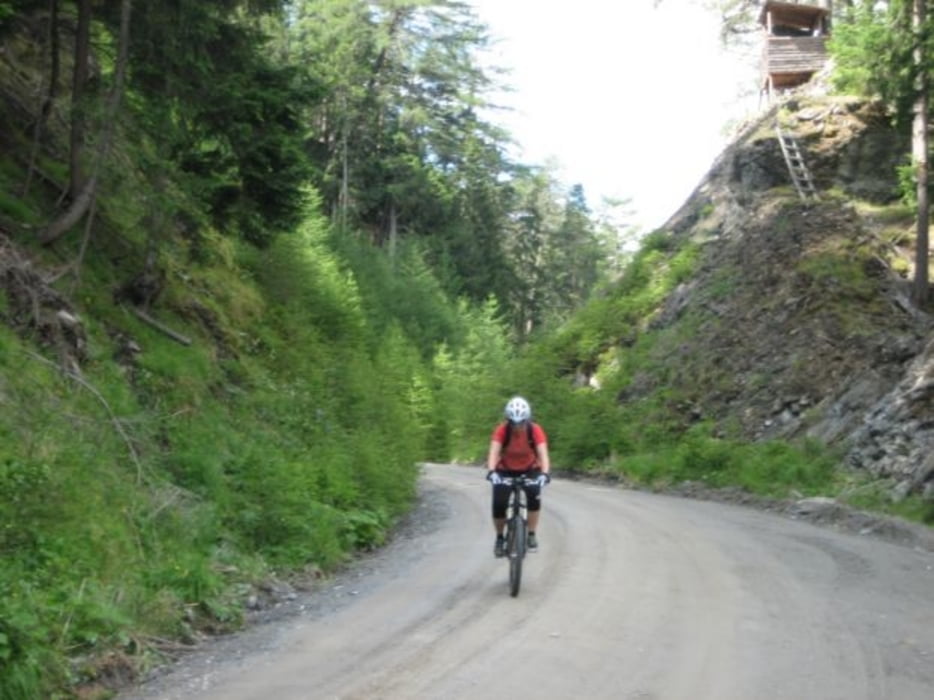
Galeria trasy


Mapa trasy i profil wysokości
Minimum height 980 m
Maximum height 1822 m
More about the tour author
|
|
Joe911 |
Komentarze

GPS tracks
Trackpoints-
GPX / Garmin Map Source (gpx) download
-
TCX / Garmin Training Center® (tcx) download
-
CRS / Garmin Training Center® (crs) download
-
Google Earth (kml) download
-
G7ToWin (g7t) download
-
TTQV (trk) download
-
Overlay (ovl) download
-
Fugawi (txt) download
-
Kompass (DAV) Track (tk) download
-
Karta trasy (pdf) download
-
Original file of the author (gpx) download
More about the tour author
|
|
Joe911 |
Add to my favorites
Remove from my favorites
Edit tags
Open track
My score
Rate