Login

Zapomniałeś swój login?

Cookies have to be accepted!
Your browser's cookie functionality is disabled. Please enable this functionality.

Not a member yet?

Register now
Login

Available for registred users only

Log in to use this feature.

Zapomniałeś swój login?

Cookies have to be accepted!
Your browser's cookie functionality is disabled. Please enable this functionality.

Not a member yet?

Register now
Filter
Kategorie
Advanced filters
  • Długość (km)
  • Wysokość
Zapisz filtr Reset filter

TrackRank

QRCode

Technical data

Długość6,7 km Wysokość39 m Way down40 m Czas trwania00:40 h:m Data30.06.2011
Oceny Author Krajobraz Czynnik zadowolenia Kondycja Technika

Statystyka

154 Widoki Oceny 9 Downloads / Pliki do pobrania Przeciętnie
Rate
  • Karta trasy
  • Dojazd
  • Downloads / Pliki do pobrania
 Sehr schön ruhige Laufstrecke, fast völlig eben, auf einem ehemaligen Bahndamm.

Further information at

http://www.montourtrail.org

Galeria trasy

Mapa trasy i profil wysokości

  • Open Street Map
  • Google
Minimum height 271 m Maximum height 298 m Widok szczegółowy

More about the tour author

grenz-pfad-fahrer
Member since 2009

Send private message

Komentarze

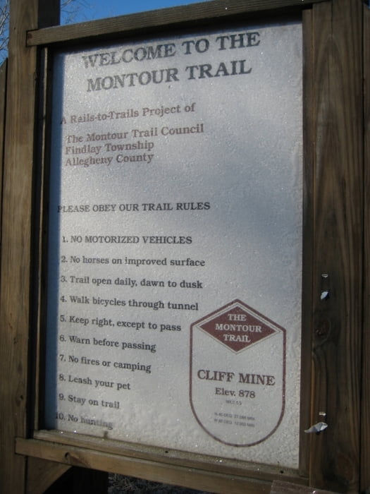
 Parkplatz "Cliff Mine Road" oder "Enlow Ball Park" benutzen.

GPS tracks

Trackpoints
  • GPX / Garmin Map Source (gpx) download
  • TCX / Garmin Training Center® (tcx) download
  • CRS / Garmin Training Center® (crs) download
  • Google Earth (kml) download
  • G7ToWin (g7t) download
  • TTQV (trk) download
  • Overlay (ovl) download
  • Fugawi (txt) download
  • Kompass (DAV) Track (tk) download
  • Karta trasy (pdf) download
  • Original file of the author (gpx) download

More about the tour author

grenz-pfad-fahrer
Member since 2009

Send private message
Share track
Add to my favorites
Remove from my favorites
Edit tags
My score
Rate
Trasa: Montour Trail 01
Rodzaj: Biegi
Długość: 6,7 km
Evaluated on:
Czas trwania:
Day(s)
Hour(s)
Minute(s)
Ocena: Krajobraz Czynnik zadowolenia Kondycja Technika