
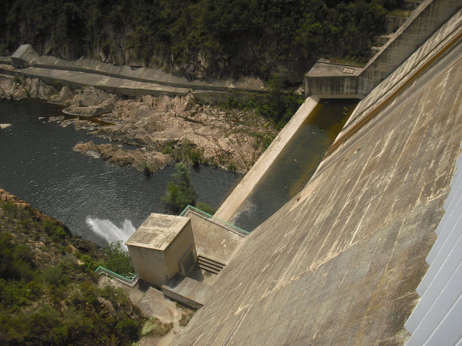

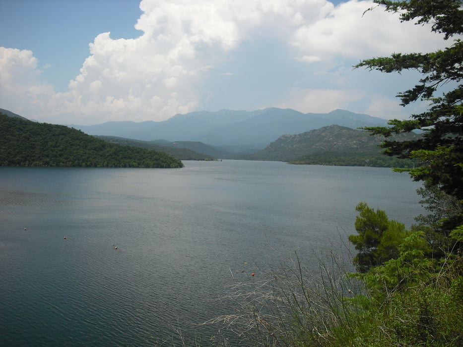
Tour zum Stausee Panta de Boadella.
Startpunkt in Pont de Molins ( Parkmöglichkeiten direkt neben dem Fluß La Muga. Kurz auf der Strasse dann links ab auf einen ausgeschilderten Fahrradweg in Richtung Boadella i Les Escaules. Der Weg geht meistens direkt nebem dem Fuß entlang und wird teilweise zum Singletrail. Ab Boadella i Les Escaules geht es dann auf Asphalt zum Stausee hoch. Danach nochmals Steigung zur Ortschaft Darnius. Abfahrt auf Asphalt nach Biure. Am Ortsausgang Biure rechts ab auf die GIV-5043 und mit der letzten Steigung zurück nach Pont de Molins. Auf halber Strecke links ab auf Feldweg bis zum Ausgangspunkt.
Landschaftliche schöne Tour. Rastpause in Boadella i Les Escaules - kleiner Tante-Emmaladen mit gekühlten Getränken
Galeria trasy

Mapa trasy i profil wysokości
Minimum height 48 m
Maximum height 201 m
More about the tour author

|
jojojo1450 |
Komentarze

GPS tracks
Trackpoints-
GPX / Garmin Map Source (gpx) download
-
TCX / Garmin Training Center® (tcx) download
-
CRS / Garmin Training Center® (crs) download
-
Google Earth (kml) download
-
G7ToWin (g7t) download
-
TTQV (trk) download
-
Overlay (ovl) download
-
Fugawi (txt) download
-
Kompass (DAV) Track (tk) download
-
Karta trasy (pdf) download
-
Original file of the author (gpx) download
More about the tour author
|
|
jojojo1450 |
Add to my favorites
Remove from my favorites
Edit tags
Open track
My score
Rate