


Nette kleine Tour zur Schafbachalm und über Tiefbrunnau retour nach Hintersee
Größtenteils Forststrasse mit Fahrverbot!
Vom Parkplatz (Strandbad Hinersee) der Forststrasse entlang Richtung Osten
Immer der Forststrasse entlang bis zur Schafbachalm
Retour über Tiefbrunnau - Faistenau und Hintersee
Viel Spaß
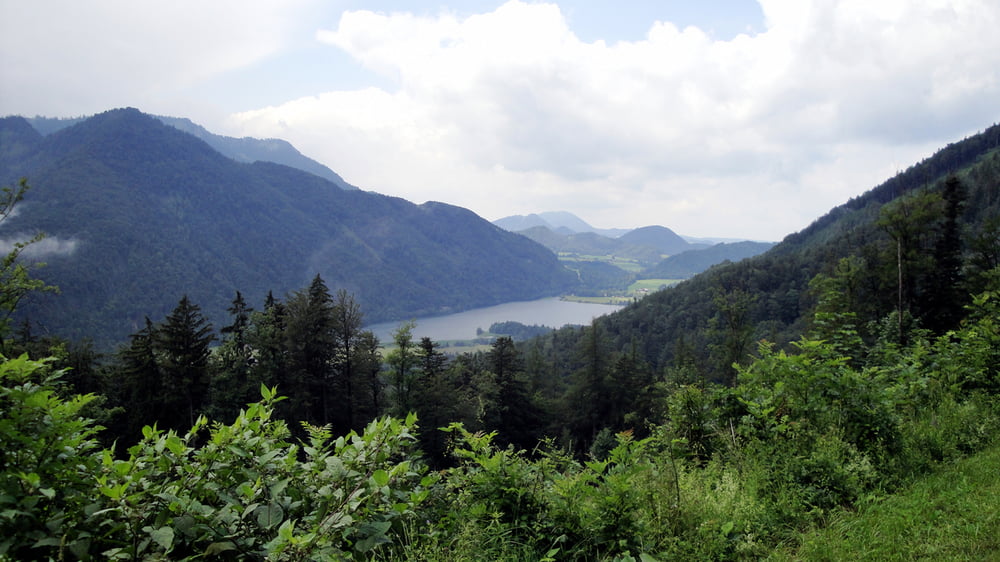
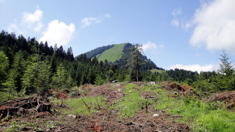
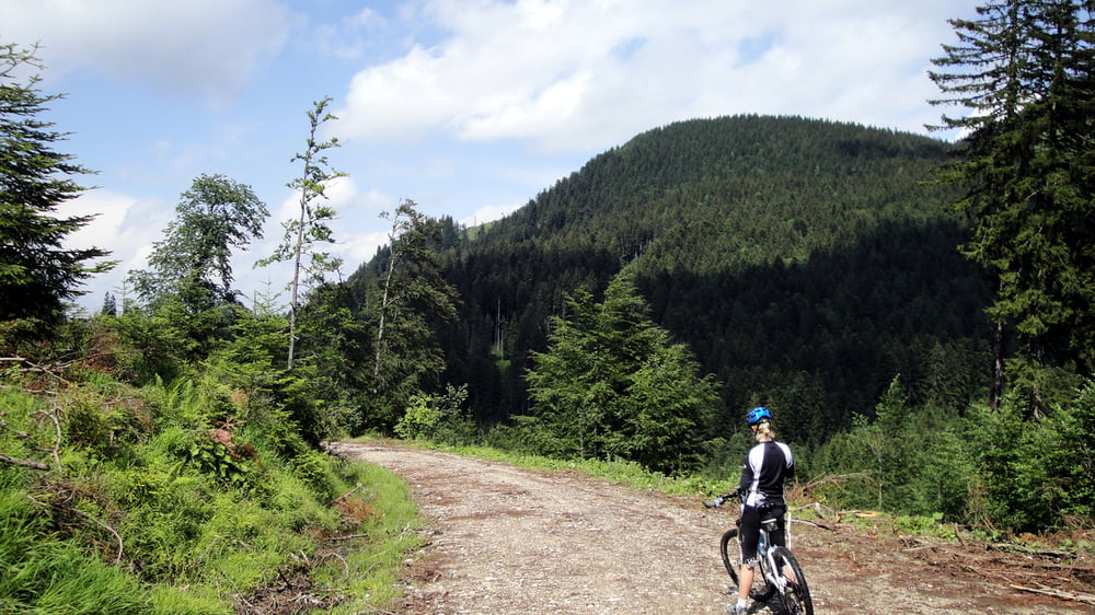
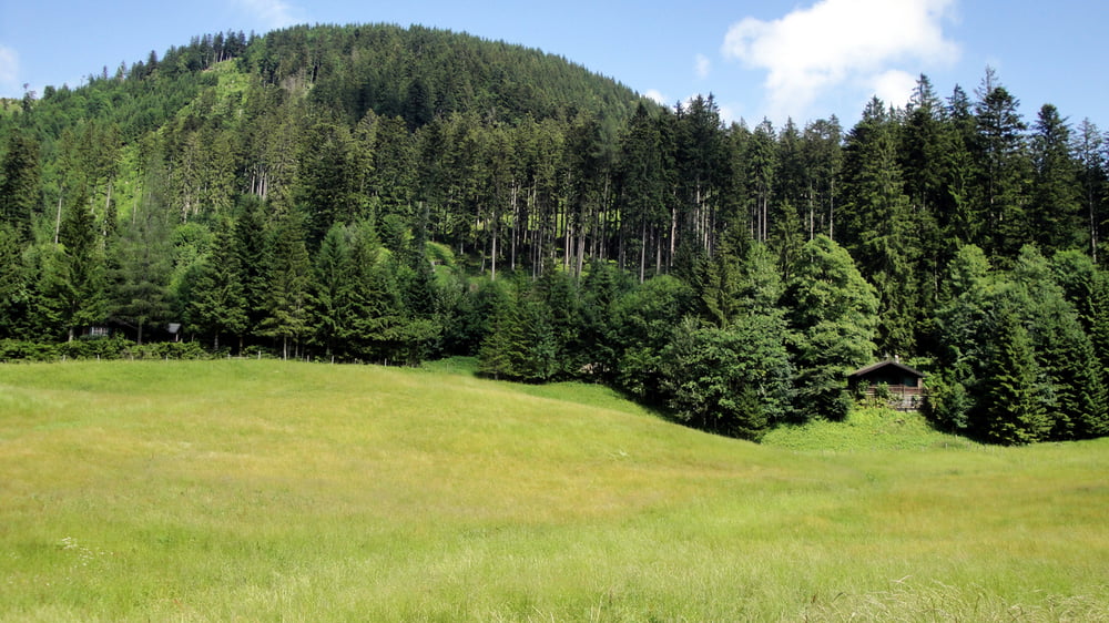
Galeria trasy
Mapa trasy i profil wysokości
Minimum height 699 m
Maximum height 1098 m
More about the tour author
|
|
re11 |
Komentarze
GPS tracks
Trackpoints-
GPX / Garmin Map Source (gpx) download
-
TCX / Garmin Training Center® (tcx) download
-
CRS / Garmin Training Center® (crs) download
-
Google Earth (kml) download
-
G7ToWin (g7t) download
-
TTQV (trk) download
-
Overlay (ovl) download
-
Fugawi (txt) download
-
Kompass (DAV) Track (tk) download
-
Karta trasy (pdf) download
-
Original file of the author (gpx) download
More about the tour author
|
|
re11 |
Add to my favorites
Remove from my favorites
Edit tags
Open track
My score
Rate
Schiebepassagen
Also Tour für sehr gut trainierte Mountainbiker bzw. auch schwache E-biker.