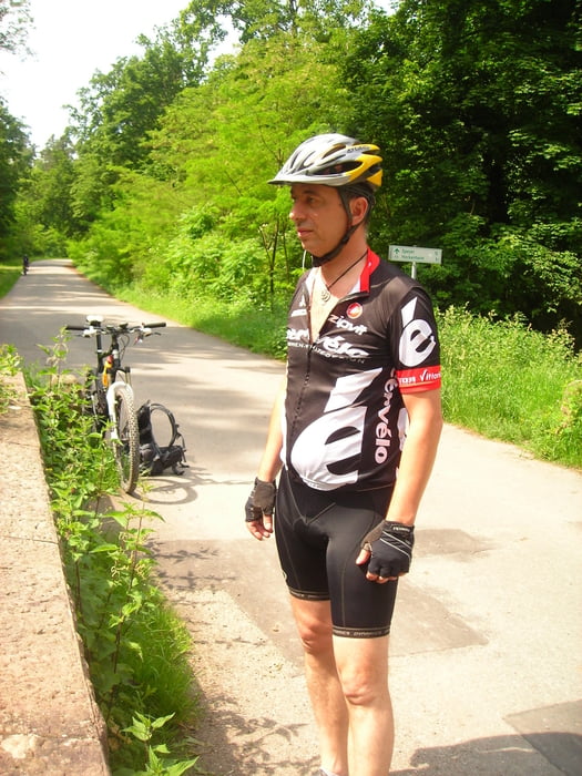
Login

Zapomniałeś swój login?

Cookies have to be accepted!
Your browser's cookie functionality is disabled. Please enable this functionality.

Not a member yet?

Register now
Login

Available for registred users only

Log in to use this feature.

Zapomniałeś swój login?

Cookies have to be accepted!
Your browser's cookie functionality is disabled. Please enable this functionality.

Not a member yet?

Register now
Filter
Kategorie
Advanced filters
  • Długość (km)
  • Wysokość
Zapisz filtr Reset filter

TrackRank

QRCode

Technical data

Długość74,9 km Wysokość1780 m Way down1776 m Czas trwania04:30 h:m Data10.07.2011
Oceny Author Krajobraz Czynnik zadowolenia Kondycja Technika

Statystyka

152 Widoki Oceny 15 Downloads / Pliki do pobrania Przeciętnie
Rate
  • Karta trasy
  • Dojazd
  • Downloads / Pliki do pobrania

1.Tag:

Rohrbach- Handschusheim- Weißer Stein- und zurück

2.Tag:

Rohrbach- Schriesheim- Teilstück Burgenweg hinauf zum Weißen Stein- Hirschgasse hinab ins Neckartal- über Heidelberger Schloss und Molkenkur zum Abschluss hinauf zum Königstuhl- diverse Singeltrails ins tal zurück nach Rohrbach.

einfach nur geniales wetter zum Biken gehabt, also perfektes WE.........

Mapa trasy i profil wysokości

  • Open Street Map
  • Google
Minimum height 99 m Maximum height 588 m Widok szczegółowy

More about the tour author

MTBBiker1966
Member since 2010

Send private message

Komentarze

GPS tracks

Trackpoints
  • GPX / Garmin Map Source (gpx) download
  • TCX / Garmin Training Center® (tcx) download
  • CRS / Garmin Training Center® (crs) download
  • Google Earth (kml) download
  • G7ToWin (g7t) download
  • TTQV (trk) download
  • Overlay (ovl) download
  • Fugawi (txt) download
  • Kompass (DAV) Track (tk) download
  • Karta trasy (pdf) download
  • Original file of the author (tcx) download

More about the tour author

MTBBiker1966
Member since 2010

Send private message
Share track
Add to my favorites
Remove from my favorites
Edit tags
My score
Rate
Trasa: Trainingsrunde
Rodzaj: Rower górski (MTB)
Długość: 74,9 km
Evaluated on:
Czas trwania:
Day(s)
Hour(s)
Minute(s)
Ocena: Krajobraz Czynnik zadowolenia Kondycja Technika