


Links neben Fischermühle führt eine schmale Straße bergauf nach Niedergrützenbach. Bei den ersten Häusern halten wir uns rechts und wandern langsam hinab zur Naaf. Hinter den beiden Teichen führt uns der Weg hinauf nach Meegen, wo ein schmaler Weg (A3,X29,
Galeria trasy
Mapa trasy i profil wysokości
Minimum height 148 m
Maximum height 257 m
More about the tour author

|
Komentarze
Von Overath auf L312 nach Much, 3-4km hinter Kreisverkehr auf dem Wanderparkplatz hinter Restaurant Fischermühle parken.
GPS tracks
Trackpoints-
GPX / Garmin Map Source (gpx) download
-
TCX / Garmin Training Center® (tcx) download
-
CRS / Garmin Training Center® (crs) download
-
Google Earth (kml) download
-
G7ToWin (g7t) download
-
TTQV (trk) download
-
Overlay (ovl) download
-
Fugawi (txt) download
-
Kompass (DAV) Track (tk) download
-
Karta trasy (pdf) download
-
Original file of the author (g7t) download
More about the tour author
|
|
Add to my favorites
Remove from my favorites
Edit tags
Open track
My score
Rate
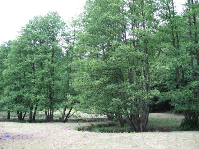
vergangenen Sonntag - meine Frau und ich wollten wandern und haben uns diese Tour ausgeguckt. Ich kann nur sagen toll. Landschaftlich reizvoll - eben auch was fürs Auge. Ich glaube, die Runde gehe ich im Winter nochmal. Danke für den Beitrag.
das war nicht die letzte Tour von Dir, die wir gegangen sind. Bis dann mal ... und wir treffen uns mittags beim latschen, gell ;-)
Rainer