


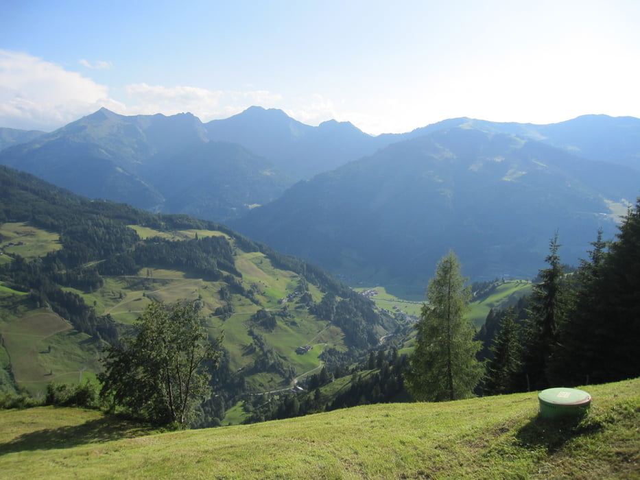
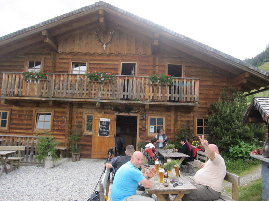
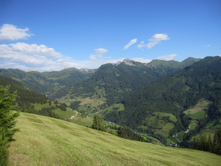
Hallo Leute, unser jähliches HWW (Herrenwanderwochenende) in 2011 ging mal wieder über 5 Tage (siehe auch die nächsten Touren). Start war in Großarl-City, dann ging es über Hertas Rast und Vorderstadtluck zur Gerstreitalm. Dort wurde zum ersten Mal übernachtet. Es gab warmes Essen und eine Dusche (unglaublich).
Dies war eine angenehme Starttour und für den ersten Tag ausreichend, zumal wir auch erst nachmittags starten konnten (Verzögerungen durch Sonne in Verbindung mit Bier und Wein; schön). Tour stellt für keinen ein Problem dar. Auch für Familien empfehlenswert.
Further information at
http://www.grossarltal.infoGaleria trasy
Mapa trasy i profil wysokości
Minimum height 947 m
Maximum height 1572 m
More about the tour author
|
|
Lippo |
Komentarze

Anreise über Salzburg-Airport, A10 und Bundesstrasse ins Großarltal bis ins Dorf.
GPS tracks
Trackpoints-
GPX / Garmin Map Source (gpx) download
-
TCX / Garmin Training Center® (tcx) download
-
CRS / Garmin Training Center® (crs) download
-
Google Earth (kml) download
-
G7ToWin (g7t) download
-
TTQV (trk) download
-
Overlay (ovl) download
-
Fugawi (txt) download
-
Kompass (DAV) Track (tk) download
-
Karta trasy (pdf) download
-
Original file of the author (gpx) download
More about the tour author
|
|
Lippo |
Add to my favorites
Remove from my favorites
Edit tags
Open track
My score
Rate