


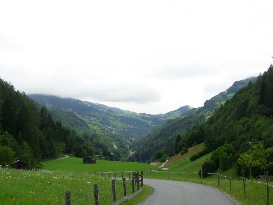
Wunderbare Landschaft, zahlreiche Übernachtungsmöglichkeiten an der Strecke. Routenverlauf großteils gut beschildert (Ausnahme: zwischen Golling und Hallein). Obwohl man der Salzach flußabwärts folgt sind einige Gegensteigungen zu bewältigen.
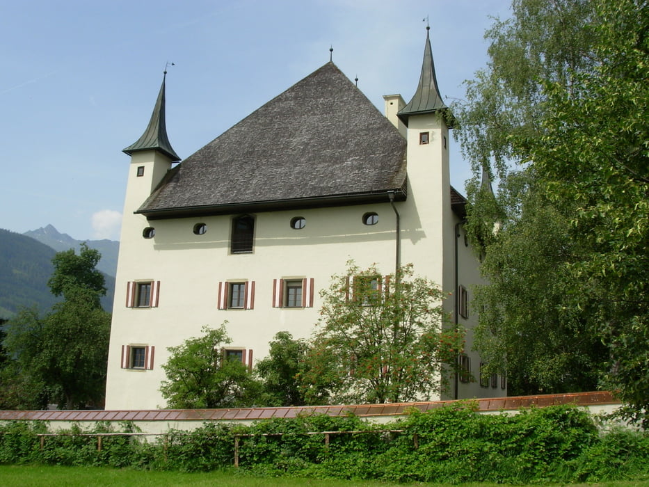
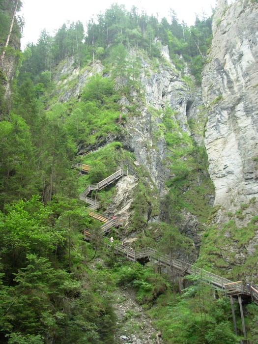
Sehenswertes an der Strecke: Krimmler Wasserfälle, Kitzlochklamm, Liechtensteinklamm, Burg Hohenwerfen, Eisriesenhöhle Werfen, Altstadt Salzburg.
Galeria trasy
Mapa trasy i profil wysokości
Minimum height 417 m
Maximum height 1076 m
More about the tour author

|
REDHAS |
Komentarze

Mirt dem ÖBB-Regional-Express bis Zell am See und mit der Pinzgauer Lokalbahn bis Krimml. Fahrrad-Mitnahme nicht immer möglich (www.pinzgauer-lokalbahn.info).
GPS tracks
Trackpoints-
GPX / Garmin Map Source (gpx) download
-
TCX / Garmin Training Center® (tcx) download
-
CRS / Garmin Training Center® (crs) download
-
Google Earth (kml) download
-
G7ToWin (g7t) download
-
TTQV (trk) download
-
Overlay (ovl) download
-
Fugawi (txt) download
-
Kompass (DAV) Track (tk) download
-
Karta trasy (pdf) download
-
Original file of the author (gpx) download
More about the tour author
|
|
REDHAS |
Add to my favorites
Remove from my favorites
Edit tags
Open track
My score
Rate