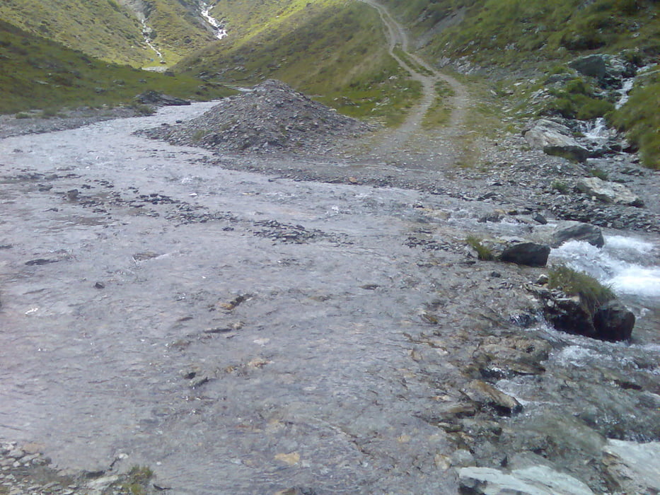
Angenehme Tour Von Innerst aus. erst das letzte Stück auf die Hagl Hütte ist etwas steiler.
Man muss kurz vor der Hagl Hütte 2x den Bach überqueren,sodaß man nasse Füße bekommt
Man muss kurz vor der Hagl Hütte 2x den Bach überqueren,sodaß man nasse Füße bekommt
Galeria trasy
Mapa trasy i profil wysokości
Minimum height 1265 m
Maximum height 2099 m
Komentarze

GPS tracks
Trackpoints-
GPX / Garmin Map Source (gpx) download
-
TCX / Garmin Training Center® (tcx) download
-
CRS / Garmin Training Center® (crs) download
-
Google Earth (kml) download
-
G7ToWin (g7t) download
-
TTQV (trk) download
-
Overlay (ovl) download
-
Fugawi (txt) download
-
Kompass (DAV) Track (tk) download
-
Karta trasy (pdf) download
-
Original file of the author (gpx) download
Add to my favorites
Remove from my favorites
Edit tags
Open track
My score
Rate


