


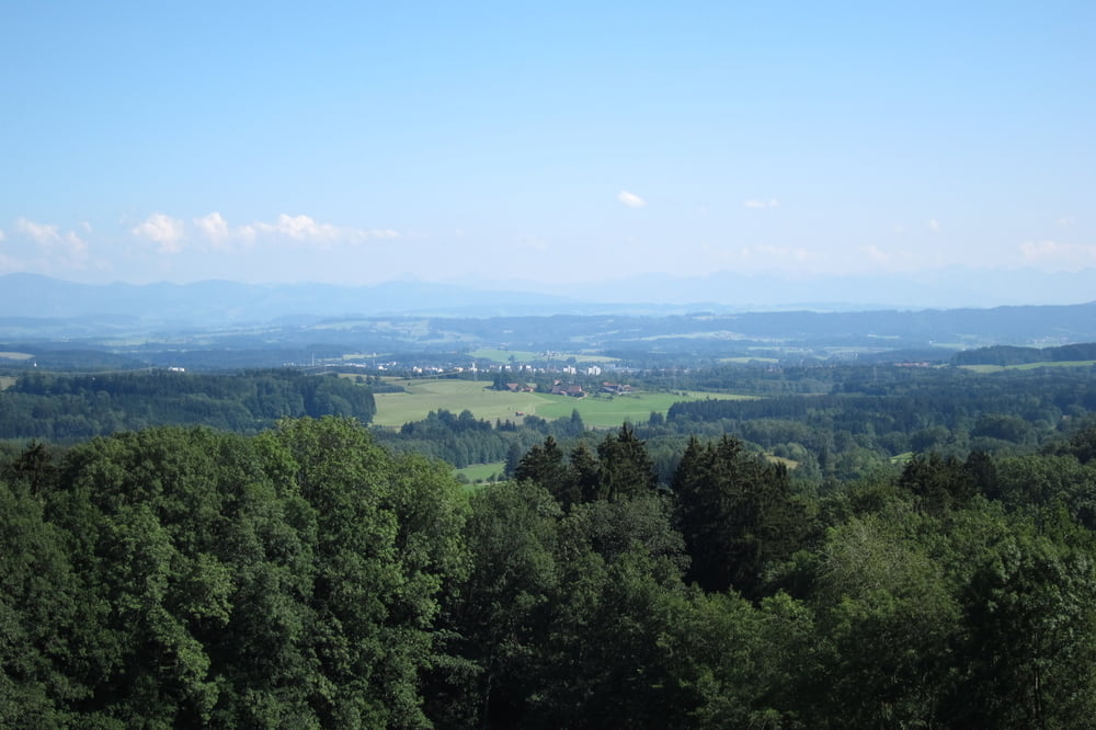
Die Tour sollte man bei guter Fernsicht unternehmen, dann werden die mühsamen Aufstiege belohnt mit tollen Ausblicken.
Auf der Strecke sind auch verschiedene Einkehrmöglichkeiten vorhanden.
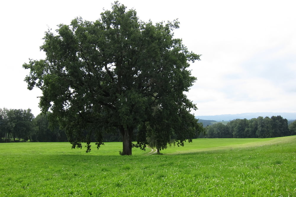
Wegbeschaffenheit: meist verläuft die Tour auf Asphalt, Wald und Feldwege, Wiese und ein kurzer Wurzelweg. den man auch umfahren kann.
Tourstrecke: Start ist in Wangen beim Parkplatz P14 - Burgelitz - Beutelsau - Herfatz - Büchel - Amtzell - Schmitten - Hanser - Hakelmann - Maierhof - Eggenreute - Karsee - Leupolz - Steinberg - Guterman - Ahegg - Oflings - Deuchelried - Durrenberg - zum Parkplatz in Wangen.
Further information at
http://www.bergerhoehe.de/livebildwebcam/Galeria trasy
Mapa trasy i profil wysokości
Minimum height 553 m
Maximum height 691 m
More about the tour author
|
|
W-C |
Komentarze

Parkplatz P14 in Wangen im Allgäu (Scherrichmühlweg), nähe Gallusbrücke. Das Parken ist gebührenfrei.
Parkplatz - Koordinaten für dein Navigationsgerät
N 47° 41. 235´
E 9° 50. 343´
GPS tracks
Trackpoints-
GPX / Garmin Map Source (gpx) download
-
TCX / Garmin Training Center® (tcx) download
-
CRS / Garmin Training Center® (crs) download
-
Google Earth (kml) download
-
G7ToWin (g7t) download
-
TTQV (trk) download
-
Overlay (ovl) download
-
Fugawi (txt) download
-
Kompass (DAV) Track (tk) download
-
Karta trasy (pdf) download
-
Original file of the author (gpx) download
More about the tour author
|
|
W-C |
Add to my favorites
Remove from my favorites
Edit tags
Open track
My score
Rate