


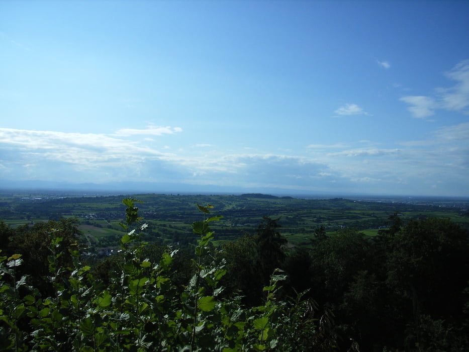
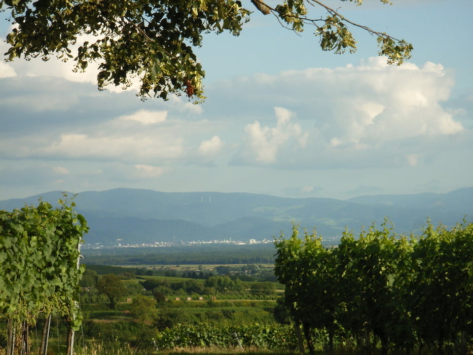
Start der Tour ist am Parkplatz Gasthaus Schützen in Herbolzheim.Dann gehts nach Wagenstadt und durch den Weinberg zum Nordweiler Bukel.Noch ein Stück durch die Reben bevor es in den Wald geht.Nach ein paar km erreichen wir die Ruine Kirnburg, von hier haben wir eine tolle Aussicht auf die Rheinebene und der Vorbergzone.Weiter geht es dann zum Vogtskreutz.noch 1km und wir erreichen den 4 Burgen Weg.Den wir bis Kenzingen folgen,noch einmal Bergauf und wir erreichen Wagenstadt -Schwimbadstraße und wir kehren zum Ausgangspunkt zurück.
Ideale Feierabend Runde oder am Jahres Anfang zum Einfahren und zum Apetit auf mehr holen.
Bis auf ein kurzes Stück überwiegeng Teer oder Waldwege.
Galeria trasy


Mapa trasy i profil wysokości
Minimum height 168 m
Maximum height 384 m
More about the tour author
|
|
AJA95KG |
Komentarze

GPS tracks
Trackpoints-
GPX / Garmin Map Source (gpx) download
-
TCX / Garmin Training Center® (tcx) download
-
CRS / Garmin Training Center® (crs) download
-
Google Earth (kml) download
-
G7ToWin (g7t) download
-
TTQV (trk) download
-
Overlay (ovl) download
-
Fugawi (txt) download
-
Kompass (DAV) Track (tk) download
-
Karta trasy (pdf) download
-
Original file of the author (gpx) download
More about the tour author
|
|
AJA95KG |
Add to my favorites
Remove from my favorites
Edit tags
Open track
My score
Rate