


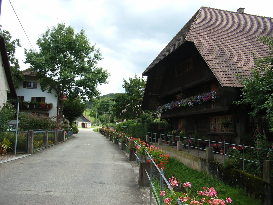
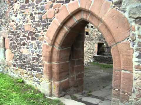
Start der Tour ist am Parkplatz Schützen in Herbolzheim.Wir fahren nach Wagenstadt Tutschfelden und über Broggingen auf den Streitberg.Dann geht's ins Schuttertal und steil Bergauf zur Burgruine Hohengerolseck dort bieten sich herrliche Aussichten auf die Rheinebene und den Schwarzwald.Einen Abstecher zur Burgruine sollten Sie sich nicht entgehen lassen.Dann geht es hinab ins Tal zur Wallfahrtskapelle Brudertal. Nach einer Sage soll das dortige Quellwasser Augenleiden heilen.Nach einer kurze Abfahrt nach Lahr geht's direkt nach Herbolzheim zurück.
Galeria trasy


Mapa trasy i profil wysokości
Minimum height 155 m
Maximum height 538 m
More about the tour author
|
|
AJA95KG |
Komentarze

GPS tracks
Trackpoints-
GPX / Garmin Map Source (gpx) download
-
TCX / Garmin Training Center® (tcx) download
-
CRS / Garmin Training Center® (crs) download
-
Google Earth (kml) download
-
G7ToWin (g7t) download
-
TTQV (trk) download
-
Overlay (ovl) download
-
Fugawi (txt) download
-
Kompass (DAV) Track (tk) download
-
Karta trasy (pdf) download
-
Original file of the author (gpx) download
More about the tour author
|
|
AJA95KG |
Add to my favorites
Remove from my favorites
Edit tags
Open track
My score
Rate