

Route startet an einem kostenfreien Parkplatz in Langenargen und führt mit kleinen persönlichen Änderungen entlang des bekannten Bodenseerundwegs nach Bregenz.
Wer möchte kann die Stecke jederzeit abkürzen oder umkehren, entlang der Strecke gibt es die viele Bahnstationen und Schiffsanlegestege, die einen wieder nach Langenargen bringen. (Die Bahn ist schneller und billiger, das Schiff schöner aber auch leider fast nicht mehr zahlbar für Familien mit Rad)
Wer möchte kann die Stecke jederzeit abkürzen oder umkehren, entlang der Strecke gibt es die viele Bahnstationen und Schiffsanlegestege, die einen wieder nach Langenargen bringen. (Die Bahn ist schneller und billiger, das Schiff schöner aber auch leider fast nicht mehr zahlbar für Familien mit Rad)
Galeria trasy

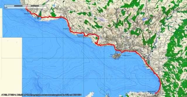
Mapa trasy i profil wysokości
Minimum height 394 m
Maximum height 437 m
More about the tour author

|
Komentarze

GPS tracks
Trackpoints-
GPX / Garmin Map Source (gpx) download
-
TCX / Garmin Training Center® (tcx) download
-
CRS / Garmin Training Center® (crs) download
-
Google Earth (kml) download
-
G7ToWin (g7t) download
-
TTQV (trk) download
-
Overlay (ovl) download
-
Fugawi (txt) download
-
Kompass (DAV) Track (tk) download
-
Karta trasy (pdf) download
-
Original file of the author (gpx) download
More about the tour author
|
|
Add to my favorites
Remove from my favorites
Edit tags
Open track
My score
Rate