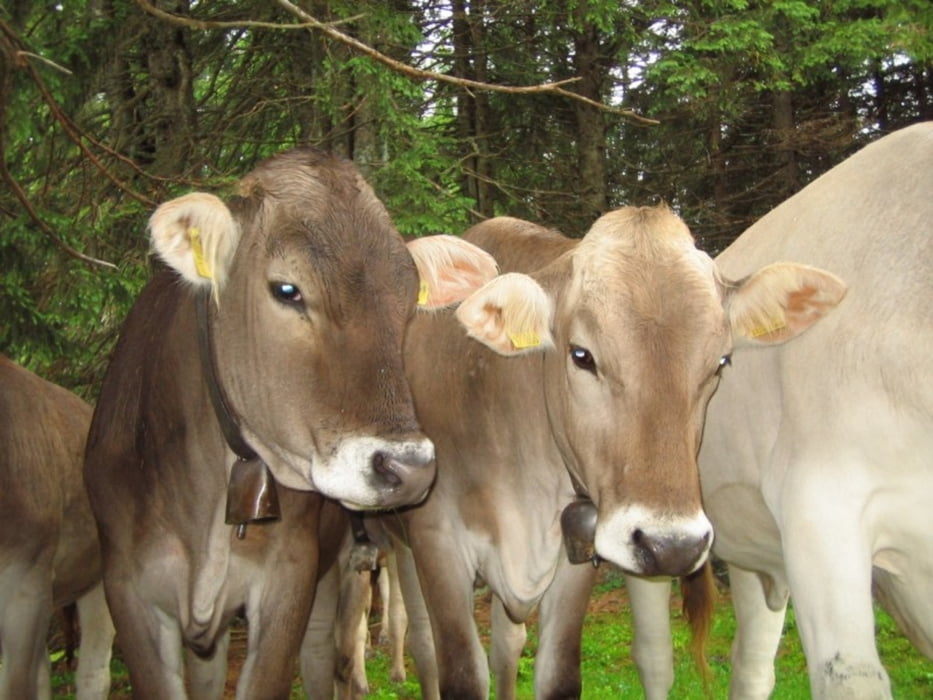
Schöne Rennradrunde im Bereich Kempten-Altusried-Leutkirch_SW...
Zumeist auf kleinen Strassen mit wenig Verkehr. Teilweise sehr gut ausgebaute Radwege. Moderate Anstiege und stressfreie Abfahrten zum entspannen prägen die Runde - genauso wie die schönen Ausblicke ins Voralpenland!
Mapa trasy i profil wysokości
Minimum height 610 m
Maximum height 978 m
Komentarze

Der Startpunkt kann beliebig auf der Runde gesetzt werden - ich empfehle (wie meistens) den Norma-Parkplatz am Ring in KE
GPS tracks
Trackpoints-
GPX / Garmin Map Source (gpx) download
-
TCX / Garmin Training Center® (tcx) download
-
CRS / Garmin Training Center® (crs) download
-
Google Earth (kml) download
-
G7ToWin (g7t) download
-
TTQV (trk) download
-
Overlay (ovl) download
-
Fugawi (txt) download
-
Kompass (DAV) Track (tk) download
-
Karta trasy (pdf) download
-
Original file of the author (gpx) download
Add to my favorites
Remove from my favorites
Edit tags
Open track
My score
Rate

