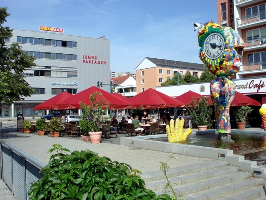
Streckenorte:
Brunnenplatz Frankfurt (Oder) - Insel Ziegenwerder - Gr. Müllroser Straße - Nuhnen - Markendorf - Müllrose - Ragower Mühle - Schlaubehammer - Helenesee - Güldendorf - Carthausplatz Frankfurt (Oder)
Karten-Empfehlung:
Radwander- und Freizeitkarte ODER-SPREE-SEENGEBIET, Maßstab 1:75.000, ISBN 978-3-934895-52-2, Pietruska-Verlag, 4,90 Euro.
Straßen- und Wegequalität:
Die Strecke ist relativ gut befahrbar. Der größte Teil verläuft auf gutem Untergrund.
Ab dem Müllroser Badestrand führt ein sandiger Pfad an der östlichen Seite des Großen Müllroser Sees entlang. Bis kurz vor der Ragower Mühle verläuft die Strecke auf einen naturbelassenen Wanderweg. Damit sind die Problemzonen der Tour erwähnt. Ab der Ragower Mühle radeln wir auf festem Untergrund bis Frankfurt.
Empfehlenswert:
- Solarfabriken in Markendorf
- Eisgarten Markendorf (Mittwoch ist dort Grillzeit 11-14 Uhr!!!)
- Marina Schlaubetal
- Villa del Lago Müllrose
- Oststrand Großer Müllroser See
- Ragower Mühle
- Oder-Spree-Kanal
- Helenesee
Interessante Webseiten:
www.tourismus-ffo.de
http://de.wikipedia.org/wiki/Frankfurt_(Oder)
http://de.wikipedia.org/wiki/Müllrose
www.ragowermuehle.de
www.helenesee.de
Further information at
http://www.rotofo.de/fitnessGaleria trasy
Mapa trasy i profil wysokości
Komentarze

Der Startort Brunnenplatz befindet sich im Stadtzentrum!
GPS tracks
Trackpoints-
GPX / Garmin Map Source (gpx) download
-
TCX / Garmin Training Center® (tcx) download
-
CRS / Garmin Training Center® (crs) download
-
Google Earth (kml) download
-
G7ToWin (g7t) download
-
TTQV (trk) download
-
Overlay (ovl) download
-
Fugawi (txt) download
-
Kompass (DAV) Track (tk) download
-
Karta trasy (pdf) download
-
Original file of the author (gpx) download


