Login

Zapomniałeś swój login?

Cookies have to be accepted!
Your browser's cookie functionality is disabled. Please enable this functionality.

Not a member yet?

Register now
Login

Available for registred users only

Log in to use this feature.

Zapomniałeś swój login?

Cookies have to be accepted!
Your browser's cookie functionality is disabled. Please enable this functionality.

Not a member yet?

Register now
Filter
Kategorie
Advanced filters
  • Długość (km)
  • Wysokość
Zapisz filtr Reset filter

TrackRank

QRCode

Technical data

Długość99,6 km Wysokość376 m Way down628 m Czas trwania06:00 h:m Data05.08.2011
Oceny Author Krajobraz Czynnik zadowolenia Kondycja Technika

Statystyka

192 Widoki Oceny 12 Downloads / Pliki do pobrania Przeciętnie
Rate
  • Karta trasy
  • Dojazd
  • Downloads / Pliki do pobrania

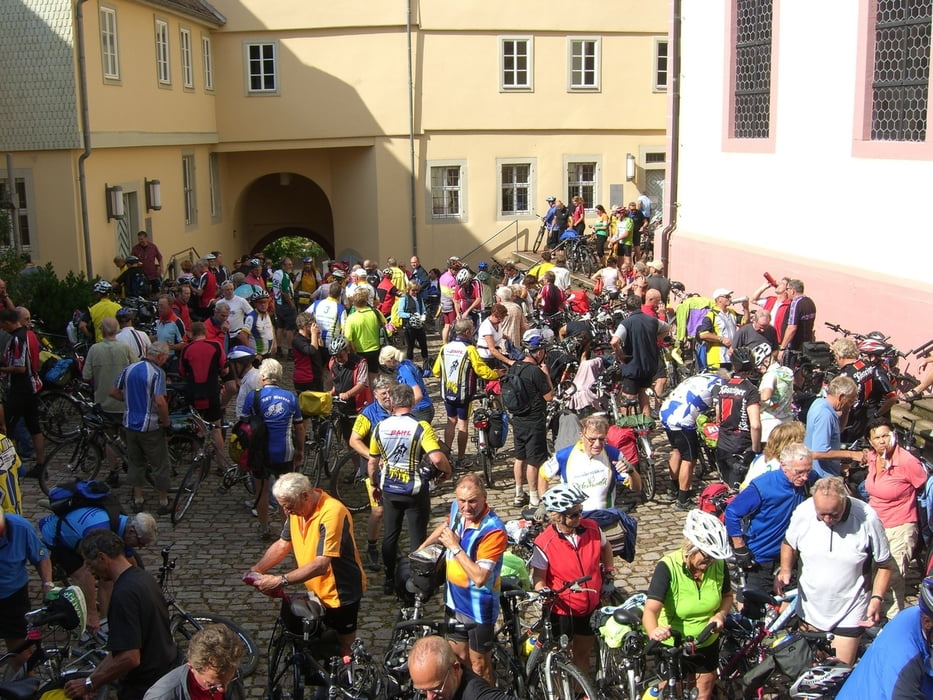
Start in Walldürn an der Nibelungenhalle.
Fahrt über Hardheim und Tauberbischofsheim.
Ankunft in Distelhausen. Hier kann die Brauerei besichtigt werden.
Weiterfahrt durch das Taubertal nach Wertheim.
Ankunft in Bürgstadt am WeinKulturHaus - Abschluss der 1. Tagesetappe -

Tagesetappe 1: Tour 86228 (101 km)
Tagesetappe 2: Tour 86229 (72 km)
Tagesetappe 3: Tour 86230 (53 km
 

Mapa trasy i profil wysokości

  • Open Street Map
  • Google
Minimum height 127 m Maximum height 432 m Widok szczegółowy

More about the tour author

JoeTrek
Member since 2010

Send private message

Komentarze

GPS tracks

Trackpoints
  • GPX / Garmin Map Source (gpx) download
  • TCX / Garmin Training Center® (tcx) download
  • CRS / Garmin Training Center® (crs) download
  • Google Earth (kml) download
  • G7ToWin (g7t) download
  • TTQV (trk) download
  • Overlay (ovl) download
  • Fugawi (txt) download
  • Kompass (DAV) Track (tk) download
  • Karta trasy (pdf) download
  • Original file of the author (gpx) download

More about the tour author

JoeTrek
Member since 2010

Send private message
Share track
Add to my favorites
Remove from my favorites
Edit tags
My score
Rate
Trasa: 3 - Länder Radevent 2010 - Tag 1
Rodzaj: Trasy rowerowe
Długość: 99,6 km
Evaluated on:
Czas trwania:
Day(s)
Hour(s)
Minute(s)
Ocena: Krajobraz Czynnik zadowolenia Kondycja Technika