


Kirchzarten - mit der Höllentalbahn zum Schlusee - Windgällweiher - Titisee - Feldsee - Rinken - Hinterwaldkopf - Kirchzarten
Einkehrmöglichkeiten: Raimartihof / Rinken / Hinterwaldkopf / Hintere Höfe
Startort: Kirchzarten-Zentrum, Bahnhof (P+R Parkplatz, kostenfreies Parken)
Die Tour ist leicht und gut fahrbar. Natürlich solltest Du etwas Kondition mitbringen. Eine schöne Tour entlang der bekanntesten Seen im Schwarzwald dem Schlusee, dem Titisee und dem Feldsee. Am Titisee kann auch der Weg links (anstatt rechts) genommen werden, so musst Du nicht durch die Fußgängerzone (ggf. sehr viele Touristen dort, je nach Wetterlage).
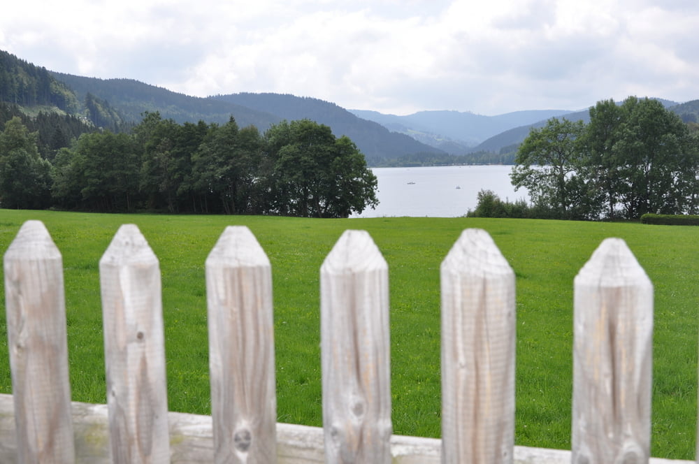
Galeria trasy
Mapa trasy i profil wysokości
Minimum height 397 m
Maximum height 1208 m
More about the tour author
|
|
t-runner |
Komentarze

Von Stuttgart kommend: A81 Richtung Singen, dann über die B31bis Kirchzarten
Von Karlsruhe kommend: A5 bis Freiburg, dann über die B31 bis Kirchzarten
Von Basel kommend: A5 bis Freiburg, dann über die B31 bis Kirchzarten
GPS tracks
Trackpoints-
GPX / Garmin Map Source (gpx) download
-
TCX / Garmin Training Center® (tcx) download
-
CRS / Garmin Training Center® (crs) download
-
Google Earth (kml) download
-
G7ToWin (g7t) download
-
TTQV (trk) download
-
Overlay (ovl) download
-
Fugawi (txt) download
-
Kompass (DAV) Track (tk) download
-
Karta trasy (pdf) download
-
Original file of the author (gpx) download
More about the tour author
|
|
t-runner |
Add to my favorites
Remove from my favorites
Edit tags
Open track
My score
Rate