Login

Zapomniałeś swój login?

Cookies have to be accepted!
Your browser's cookie functionality is disabled. Please enable this functionality.

Not a member yet?

Register now
Login

Available for registred users only

Log in to use this feature.

Zapomniałeś swój login?

Cookies have to be accepted!
Your browser's cookie functionality is disabled. Please enable this functionality.

Not a member yet?

Register now
Filter
Kategorie
Advanced filters
  • Długość (km)
  • Wysokość
Zapisz filtr Reset filter

TrackRank

QRCode

Technical data

Długość43,7 km Wysokość780 m Way down792 m Czas trwania03:00 h:m Data05.08.2011
Oceny Author Krajobraz Czynnik zadowolenia Kondycja Technika

Statystyka

576 Widoki Oceny 65 Downloads / Pliki do pobrania Przeciętnie
Rate
  • Karta trasy
  • Dojazd
  • Downloads / Pliki do pobrania

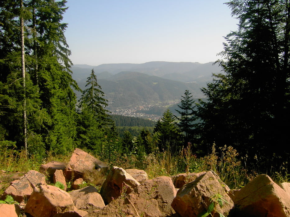
Zum Moosturm über den Fallschirmspringerplatz

Start an der Bäckerei Geldreich in Oberkirch

Fahrt Richtung Oppenau > Anstieg in Richtung Schäfersfeldpass / Falschirmspringerplatz > Ramsbacher Holzplatz > Bärenweg > Moosturm > Spähneplatz > Ofenlochhütte > Kandel Höhenweg > Bildeiche > Geigerskopf > Hesselbach > Oberkirch

Further information at

http://www.oberkirch.de

Galeria trasy

Mapa trasy i profil wysokości

  • Open Street Map
  • Google
Minimum height 188 m Maximum height 832 m Widok szczegółowy

More about the tour author

ambaibiker
Member since 2008

Send private message

Komentarze

GPS tracks

Trackpoints
  • GPX / Garmin Map Source (gpx) download
  • TCX / Garmin Training Center® (tcx) download
  • CRS / Garmin Training Center® (crs) download
  • Google Earth (kml) download
  • G7ToWin (g7t) download
  • TTQV (trk) download
  • Overlay (ovl) download
  • Fugawi (txt) download
  • Kompass (DAV) Track (tk) download
  • Karta trasy (pdf) download
  • Original file of the author (gpx) download

More about the tour author

ambaibiker
Member since 2008

Send private message
Share track
Add to my favorites
Remove from my favorites
Edit tags
My score
Rate
Trasa: Auf den Moosturm
Rodzaj: Rower górski (MTB)
Długość: 43,7 km
Evaluated on:
Czas trwania:
Day(s)
Hour(s)
Minute(s)
Ocena: Krajobraz Czynnik zadowolenia Kondycja Technika