Login

Zapomniałeś swój login?

Cookies have to be accepted!
Your browser's cookie functionality is disabled. Please enable this functionality.

Not a member yet?

Register now
Login

Available for registred users only

Log in to use this feature.

Zapomniałeś swój login?

Cookies have to be accepted!
Your browser's cookie functionality is disabled. Please enable this functionality.

Not a member yet?

Register now
Filter
Kategorie
Advanced filters
  • Długość (km)
  • Wysokość
Zapisz filtr Reset filter

TrackRank

QRCode

Technical data

Długość49,8 km Wysokość1415 m Way down2377 m Czas trwania05:00 h:m Data07.08.2011
Oceny Author Krajobraz Czynnik zadowolenia Kondycja Technika

Statystyka

328 Widoki Oceny 68 Downloads / Pliki do pobrania Przeciętnie
Rate
  • Karta trasy
  • Dojazd
  • Downloads / Pliki do pobrania

Steile z.T. anspruchsvolle Abfahrt nach Stalden 1.100hm. Danach Auffahrt nach Törbel auf Asphalt 800hm.

Flowiger Trail nach Gärlich.

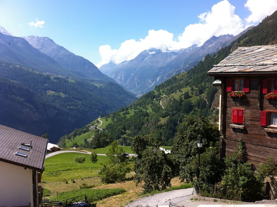
Von Steihüs nach Turtig einer der besten Trails die ich schon gefahren bin. Unbedingt mitnehmen....

Nach Visp und dann nochmals ca.250hm hoch nach Aussenberg. Mit dem Zug 24 SFR nach Kandersteg zur 4 Etappe.

Übernachtung Kandersteg:

Hotel ALPINA

ÜF 75,00 SFR

+41 33675 1246

www.alpina-online.com

Galeria trasy

Mapa trasy i profil wysokości

  • Open Street Map
  • Google
Minimum height 660 m Maximum height 1901 m Widok szczegółowy

More about the tour author

deckermp
Member since 2010

Send private message

Komentarze


GPS tracks

Trackpoints
  • GPX / Garmin Map Source (gpx) download
  • TCX / Garmin Training Center® (tcx) download
  • CRS / Garmin Training Center® (crs) download
  • Google Earth (kml) download
  • G7ToWin (g7t) download
  • TTQV (trk) download
  • Overlay (ovl) download
  • Fugawi (txt) download
  • Kompass (DAV) Track (tk) download
  • Karta trasy (pdf) download
  • Original file of the author (gpx) download

More about the tour author

deckermp
Member since 2010

Send private message
Share track
Add to my favorites
Remove from my favorites
Edit tags
My score
Rate
Trasa: TransAlp11 Etappe 3
Rodzaj: Rower górski (MTB)
Długość: 49,8 km
Evaluated on:
Czas trwania:
Day(s)
Hour(s)
Minute(s)
Ocena: Krajobraz Czynnik zadowolenia Kondycja Technika