


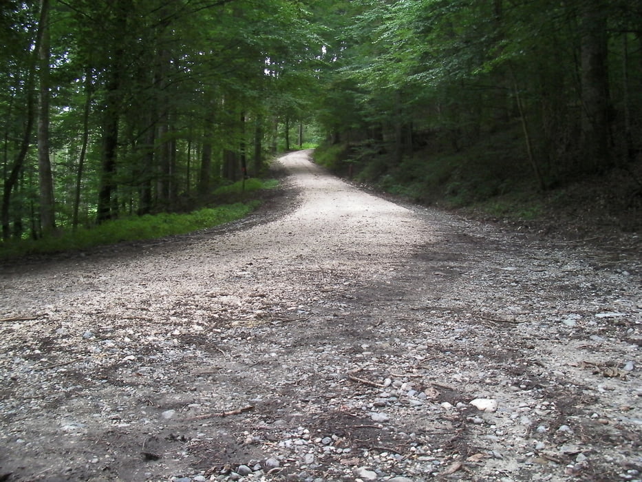
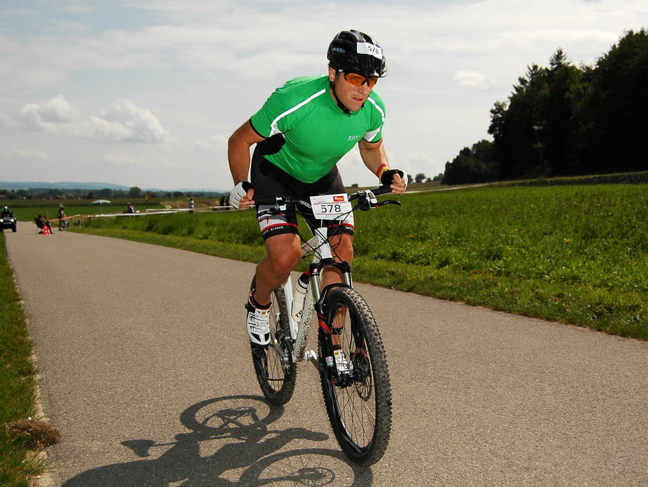
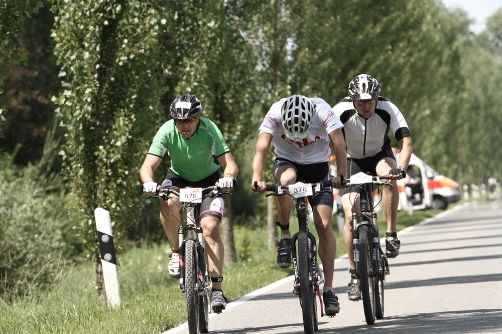
Die Mountainbike-Strecke als eine der 5 Disziplinen die beim Megathlon zu bewältigen sind. Der Kurs führt zunächst über den Radweg aus Radolfzell raus nach Moos und Bankholzen. Ab Bankholzen geht es hinein in den Wald und die erste Steigung den Schiener Berg hinauf (ca.200 HM auf 3 Km).
Die Abfahrt geht in Richtung Bohlingen um dann von der anderen Seite den Schiener Berg nochmals zu erklimmen (ca.140 HM auf 1000m). Danach hat man die größten Hürden bereits genommen und es geht auf einer rasanten Abfahrt nach Worblingen.
Jetzt geht es durch welliges Terrain bis nach Überlingen, kurz den Radweg entlang, dann noch ca. 3 Km über Feldwege wieder zurück nach Radolfzell.
Further information at
http://www.bodensee-megathlon.deGaleria trasy
Mapa trasy i profil wysokości
Minimum height 376 m
Maximum height 610 m
More about the tour author
|
|
ossinator |
Komentarze

Über die BAB und B33 nach Radolfzell.
GPS tracks
Trackpoints-
GPX / Garmin Map Source (gpx) download
-
TCX / Garmin Training Center® (tcx) download
-
CRS / Garmin Training Center® (crs) download
-
Google Earth (kml) download
-
G7ToWin (g7t) download
-
TTQV (trk) download
-
Overlay (ovl) download
-
Fugawi (txt) download
-
Kompass (DAV) Track (tk) download
-
Karta trasy (pdf) download
-
Original file of the author (gpx) download
More about the tour author
|
|
ossinator |
Add to my favorites
Remove from my favorites
Edit tags
Open track
My score
Rate