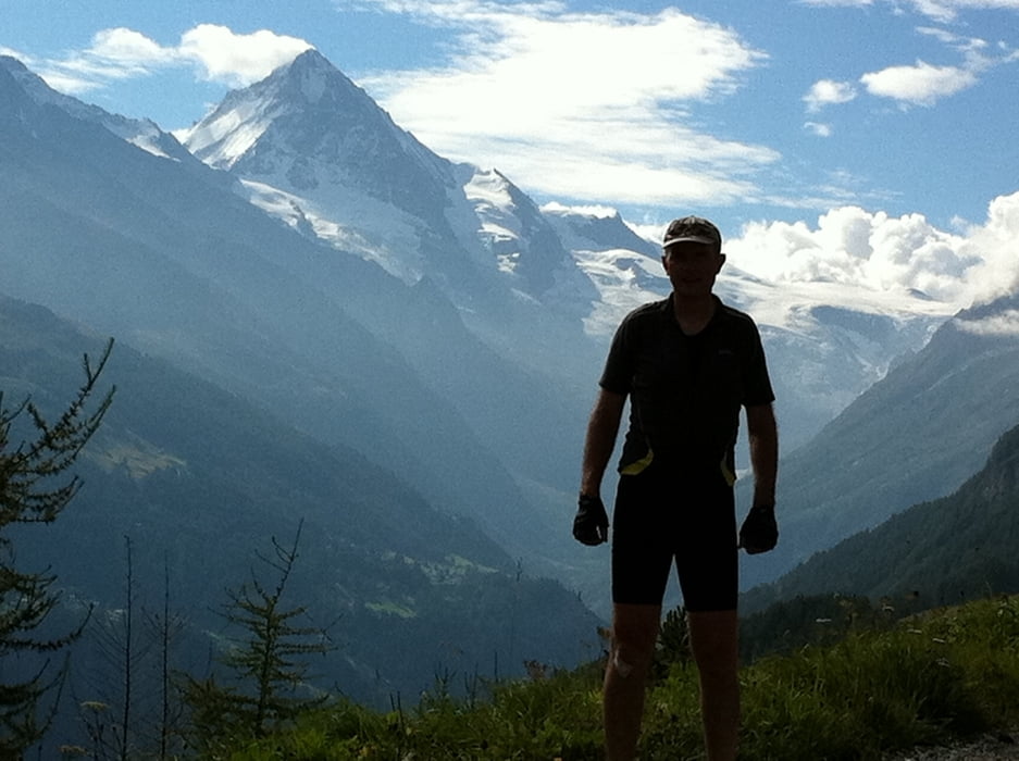
Von Evolene ins Skigebiet auf Asphalt/ Forststrassen. Ab La Main 2.100m nochmal 270hm über teils anspruchsvollen trail nach Sex Pey.
Abfahrt über Alp Mandelon Forstwege nach Mäche und weiter zum Bahnhof in Sion.
Von Sion mit dem zug über Brig (Umsteigen) zum Bahnhof nach Grenigiols und 5 Std. Rückfahrt nach München. ENDE der TransAlp2011
Galeria trasy
Mapa trasy i profil wysokości
Minimum height 509 m
Maximum height 2245 m
Komentarze

GPS tracks
Trackpoints-
GPX / Garmin Map Source (gpx) download
-
TCX / Garmin Training Center® (tcx) download
-
CRS / Garmin Training Center® (crs) download
-
Google Earth (kml) download
-
G7ToWin (g7t) download
-
TTQV (trk) download
-
Overlay (ovl) download
-
Fugawi (txt) download
-
Kompass (DAV) Track (tk) download
-
Karta trasy (pdf) download
-
Original file of the author (gpx) download
Add to my favorites
Remove from my favorites
Edit tags
Open track
My score
Rate


