Login

Zapomniałeś swój login?

Cookies have to be accepted!
Your browser's cookie functionality is disabled. Please enable this functionality.

Not a member yet?

Register now
Login

Available for registred users only

Log in to use this feature.

Zapomniałeś swój login?

Cookies have to be accepted!
Your browser's cookie functionality is disabled. Please enable this functionality.

Not a member yet?

Register now
Filter
Kategorie
Advanced filters
  • Długość (km)
  • Wysokość
Zapisz filtr Reset filter

TrackRank

QRCode

Technical data

Długość122,7 km Wysokość970 m Way down705 m Czas trwania06:00 h:m Data10.08.2011
Oceny Author Krajobraz Czynnik zadowolenia Kondycja Technika

Statystyka

175 Widoki Oceny 12 Downloads / Pliki do pobrania Przeciętnie
Rate
  • Karta trasy
  • Dojazd
  • Downloads / Pliki do pobrania

Tour am 12.08.2011 durchgeführt.

1. Etappe von RR-Tour: Augsburg-Göllheim (Rheinland-Pfalz)
Ich habe nur diese Etappe ins GPS-Tour Portal gestellt weil ich die Tour selbst runtergeladen habe und die weiteren Etappen nicht wirklich schön waren (auf zu verkehrsreichen Strassen!).

Diese Etappe  ganz OK um von A nach B zu kommen (größtenteils auf Radwegen  und Wirtschaftswegen) - nicht vergleichbar mit einer Panoramatour auf Wirtschaftswegen!
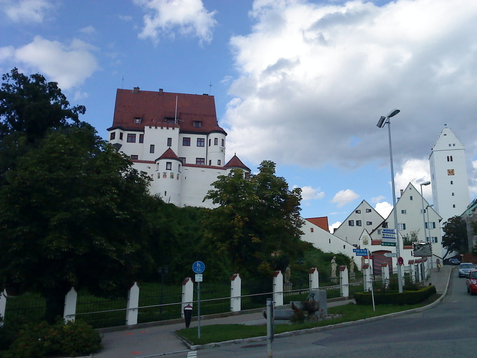
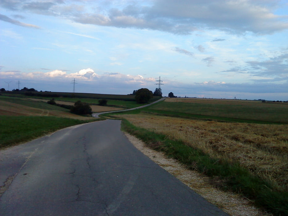
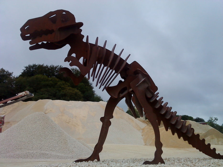
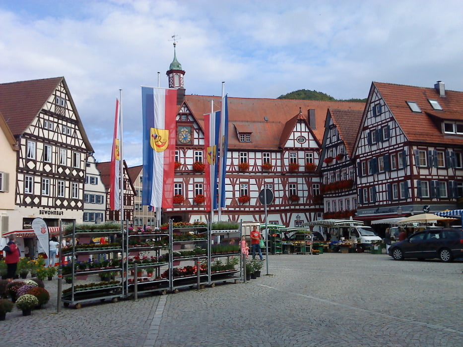
Galeria trasy

Mapa trasy i profil wysokości

  • Open Street Map
  • Google
Minimum height 450 m Maximum height 776 m Widok szczegółowy

More about the tour author

IrisG
Member since 2009

Send private message

Komentarze

GPS tracks

Trackpoints
  • GPX / Garmin Map Source (gpx) download
  • TCX / Garmin Training Center® (tcx) download
  • CRS / Garmin Training Center® (crs) download
  • Google Earth (kml) download
  • G7ToWin (g7t) download
  • TTQV (trk) download
  • Overlay (ovl) download
  • Fugawi (txt) download
  • Kompass (DAV) Track (tk) download
  • Karta trasy (pdf) download
  • Original file of the author (gpx) download

More about the tour author

IrisG
Member since 2009

Send private message
Share track
Add to my favorites
Remove from my favorites
Edit tags
My score
Rate
Trasa: Augsburg-Laichingen
Rodzaj: Rower szosowy
Długość: 122,7 km
Evaluated on:
Czas trwania:
Day(s)
Hour(s)
Minute(s)
Ocena: Krajobraz Czynnik zadowolenia Kondycja Technika