Login

Zapomniałeś swój login?

Cookies have to be accepted!
Your browser's cookie functionality is disabled. Please enable this functionality.

Not a member yet?

Register now
Login

Available for registred users only

Log in to use this feature.

Zapomniałeś swój login?

Cookies have to be accepted!
Your browser's cookie functionality is disabled. Please enable this functionality.

Not a member yet?

Register now
Filter
Kategorie
Advanced filters
  • Długość (km)
  • Wysokość
Zapisz filtr Reset filter

TrackRank

QRCode

Technical data

Długość39,2 km Wysokość1239 m Way down1219 m Czas trwania00:00 h:m Data12.08.2011
Oceny Author User Krajobraz Czynnik zadowolenia Kondycja Technika

Statystyka

408 Widoki 2 Oceny 63 Downloads / Pliki do pobrania 4.00 Przeciętnie
Rate
  • Karta trasy
  • Dojazd
  • Downloads / Pliki do pobrania

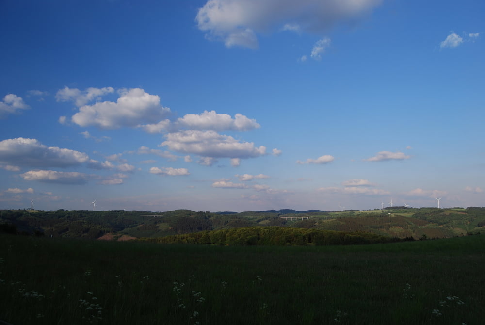
Schöne Tour mit allem was das (Mountain-) 

Bikerherz begehrt: flowige Singletrails, knackige Steigungen, traumhaftes Panorama.

Prädikat: 

empfehlenswert!

Mapa trasy i profil wysokości

  • Open Street Map
  • Google
Minimum height 141 m Maximum height 409 m Widok szczegółowy

More about the tour author

Vielmuell
Member since 2010

Send private message

Komentarze

isabella1973 on 25.08.2017

Viel Müll

Aus meiner Sicht ist diese Tour nur für Höhenmeterbolzer
interessant.Du fährst einen Forstweg hoch und den nächsten wierder runter.Der einzig interessante Trail
ist der an der Talsperre.Für mich alles andere ans
empfehlenswert.

Start: 

Katholische Kirche in Dahl.

GPS tracks

Trackpoints
  • GPX / Garmin Map Source (gpx) download
  • TCX / Garmin Training Center® (tcx) download
  • CRS / Garmin Training Center® (crs) download
  • Google Earth (kml) download
  • G7ToWin (g7t) download
  • TTQV (trk) download
  • Overlay (ovl) download
  • Fugawi (txt) download
  • Kompass (DAV) Track (tk) download
  • Karta trasy (pdf) download
  • Original file of the author (gpx) download

More about the tour author

Vielmuell
Member since 2010

Send private message
Share track
Add to my favorites
Remove from my favorites
Edit tags
My score
Rate
Trasa: große Volmetaltour
Rodzaj: Rower górski (MTB)
Długość: 39,2 km
Evaluated on:
Czas trwania:
Day(s)
Hour(s)
Minute(s)
Ocena: Krajobraz Czynnik zadowolenia Kondycja Technika