Login

Zapomniałeś swój login?

Cookies have to be accepted!
Your browser's cookie functionality is disabled. Please enable this functionality.

Not a member yet?

Register now
Login

Available for registred users only

Log in to use this feature.

Zapomniałeś swój login?

Cookies have to be accepted!
Your browser's cookie functionality is disabled. Please enable this functionality.

Not a member yet?

Register now
Filter
Kategorie
Advanced filters
  • Długość (km)
  • Wysokość
Zapisz filtr Reset filter

TrackRank

QRCode

Technical data

Długość46,6 km Wysokość390 m Way down410 m Czas trwania03:13 h:m Data02.08.2011
Oceny Author Krajobraz Czynnik zadowolenia Kondycja Technika

Statystyka

2629 Widoki 1 Ocena 57 Downloads / Pliki do pobrania 5.00 Przeciętnie
Rate
  • Karta trasy
  • Dojazd
  • Downloads / Pliki do pobrania
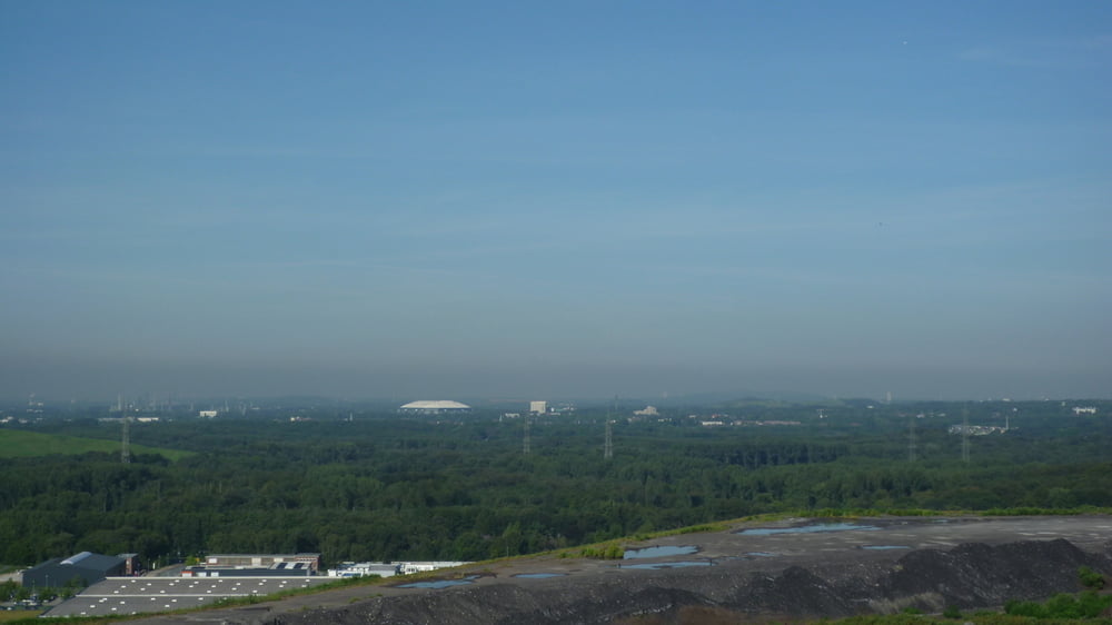
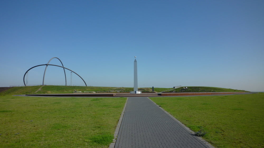
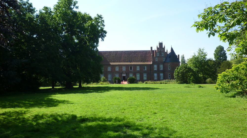
Fahrt von Herten Langenbochum über Herten Scherlebeck, an Herten Disteln vorbei, durch den Katzenbusch zur Halde Hoheward und dann hinüber zur Halde Hoppenbruch. Rückfahrt durch den Hertener Schloßpark, den Telgenbusch und die Ried nach Langenbochum.

Galeria trasy

Mapa trasy i profil wysokości

  • Open Street Map
  • Google
Minimum height 41 m Maximum height 151 m Widok szczegółowy

More about the tour author

Anonymous user

Komentarze

GPS tracks

Trackpoints
  • GPX / Garmin Map Source (gpx) download
  • TCX / Garmin Training Center® (tcx) download
  • CRS / Garmin Training Center® (crs) download
  • Google Earth (kml) download
  • G7ToWin (g7t) download
  • TTQV (trk) download
  • Overlay (ovl) download
  • Fugawi (txt) download
  • Kompass (DAV) Track (tk) download
  • Karta trasy (pdf) download
  • Original file of the author (tcx) download

More about the tour author

Anonymous user

Share track
Add to my favorites
Remove from my favorites
Edit tags
My score
Rate
Trasa: Tour zu den Halden Hoheward und Hoppenbruch
Rodzaj: Rower górski (MTB)
Długość: 46,6 km
Evaluated on:
Czas trwania:
Day(s)
Hour(s)
Minute(s)
Ocena: Krajobraz Czynnik zadowolenia Kondycja Technika