Login

Zapomniałeś swój login?

Cookies have to be accepted!
Your browser's cookie functionality is disabled. Please enable this functionality.

Not a member yet?

Register now
Login

Available for registred users only

Log in to use this feature.

Zapomniałeś swój login?

Cookies have to be accepted!
Your browser's cookie functionality is disabled. Please enable this functionality.

Not a member yet?

Register now
Filter
Kategorie
Advanced filters
  • Długość (km)
  • Wysokość
Zapisz filtr Reset filter

TrackRank

QRCode

Technical data

Długość60,8 km Wysokość145 m Way down202 m Czas trwania02:47 h:m Data03.08.2011
Oceny Author Krajobraz Czynnik zadowolenia Kondycja Technika

Statystyka

165 Widoki Oceny 8 Downloads / Pliki do pobrania Przeciętnie
Rate
  • Karta trasy
  • Dojazd
  • Downloads / Pliki do pobrania
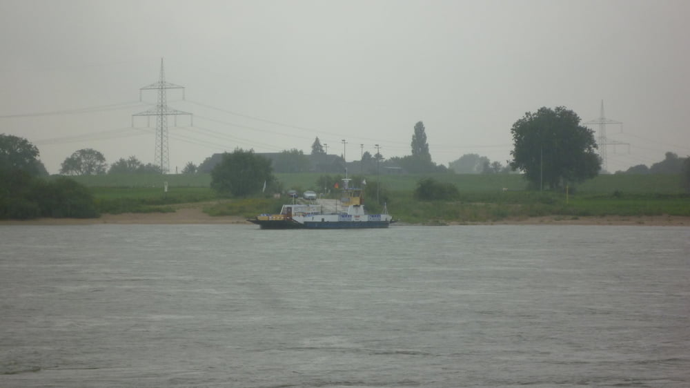
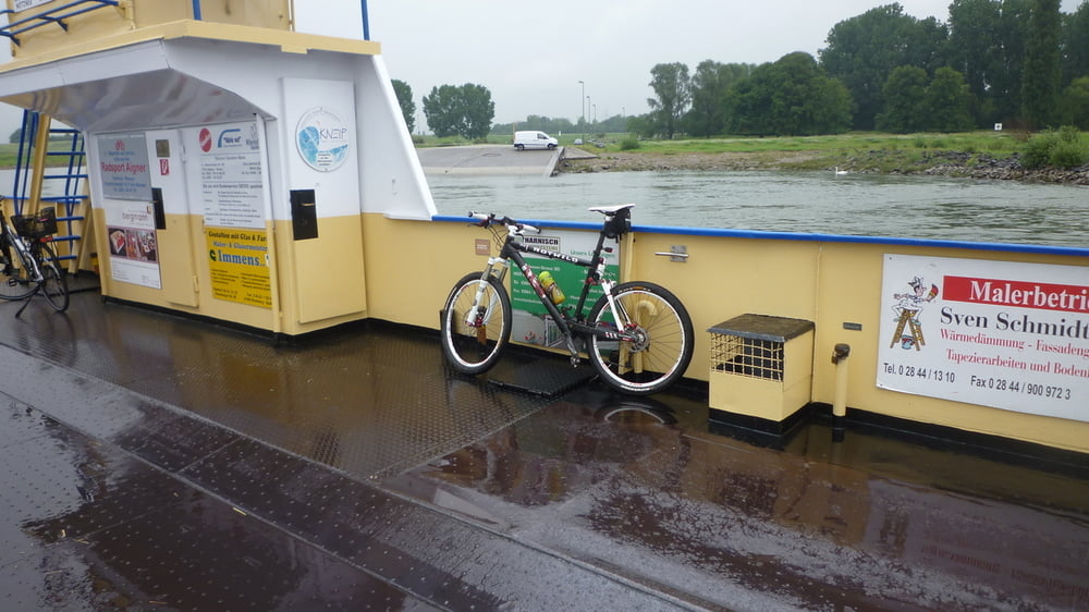
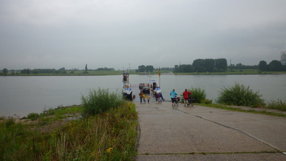
Tour von Herten durch das nördliche Ruhrgebiet, vorbei an Gelsenkirchen Scholven, Kirchellen, Bottrop,  Schwarze Heide, Dinslaken  zum Niederrhein. Bei Walsum setzt man mit der Fähre über den Rhein und fährt weiter durch Orsoy, Rheinberg und druch die Leucht nach Issum.

Galeria trasy

Mapa trasy i profil wysokości

  • Open Street Map
  • Google
Minimum height 11 m Maximum height 83 m Widok szczegółowy

More about the tour author

Anonymous user

Komentarze

GPS tracks

Trackpoints
  • GPX / Garmin Map Source (gpx) download
  • TCX / Garmin Training Center® (tcx) download
  • CRS / Garmin Training Center® (crs) download
  • Google Earth (kml) download
  • G7ToWin (g7t) download
  • TTQV (trk) download
  • Overlay (ovl) download
  • Fugawi (txt) download
  • Kompass (DAV) Track (tk) download
  • Karta trasy (pdf) download
  • Original file of the author (tcx) download

More about the tour author

Anonymous user

Share track
Add to my favorites
Remove from my favorites
Edit tags
My score
Rate
Trasa: Von Herten nach Issum
Rodzaj: Rower górski (MTB)
Długość: 60,8 km
Evaluated on:
Czas trwania:
Day(s)
Hour(s)
Minute(s)
Ocena: Krajobraz Czynnik zadowolenia Kondycja Technika