


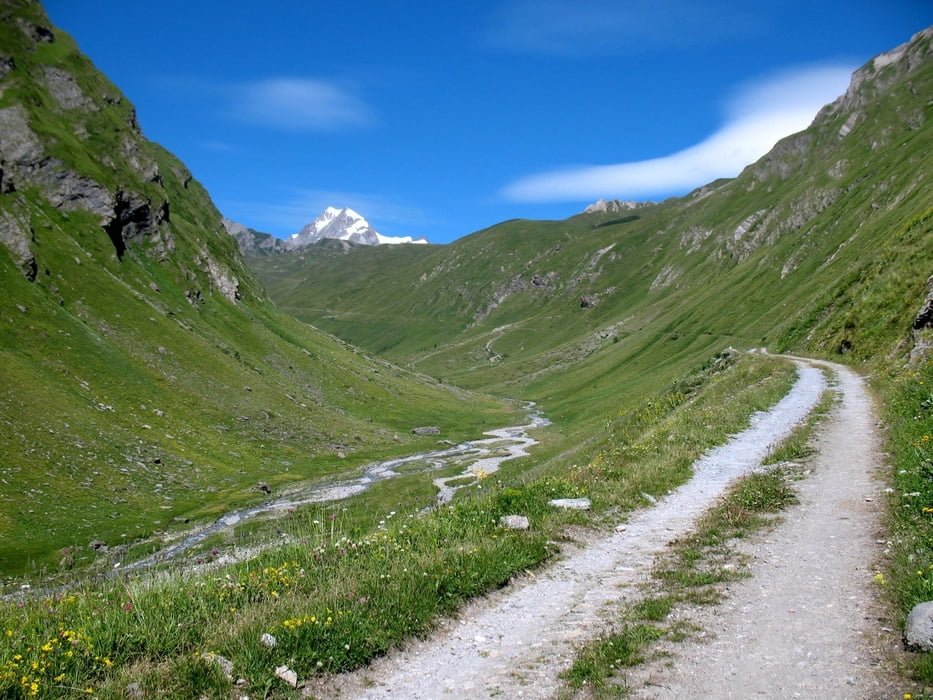
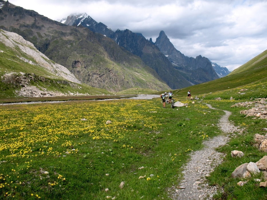
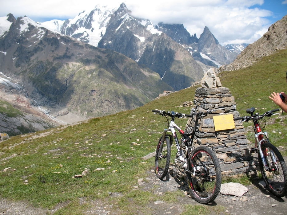
Giro che conduce ai piedi della catena del Monte Bianco.
- altezza massima (Col Chavanne) mt 2597
- altezza minima (partenza Pre San Didier) mt 992
- distanza 48,80km
- dislivello globale 1601
- quota sterrato 45-50%
- pendenza max salita 14%
- pendenza max discesa 28%
- tempo movimento 5h e 15m
- tempo globale giornata intera
- velocità media 9,8 km/h
Note
- girare in senso orario
- ciclabilità: salita totale, discesa eccetto tratto iniziale dopo colle Chavanne
- attenzione alla discesa dal colle, ripida e su fondo instabile
- da fare in un'ottima giornata di sole per godere dello spettacolare paesaggio offerto dalla catena del Monte Bianco
Further information at
http://www.itinerari-mtb.itGaleria trasy


Mapa trasy i profil wysokości
Minimum height 993 m
Maximum height 2597 m
More about the tour author
|
|
emmegi |
Komentarze

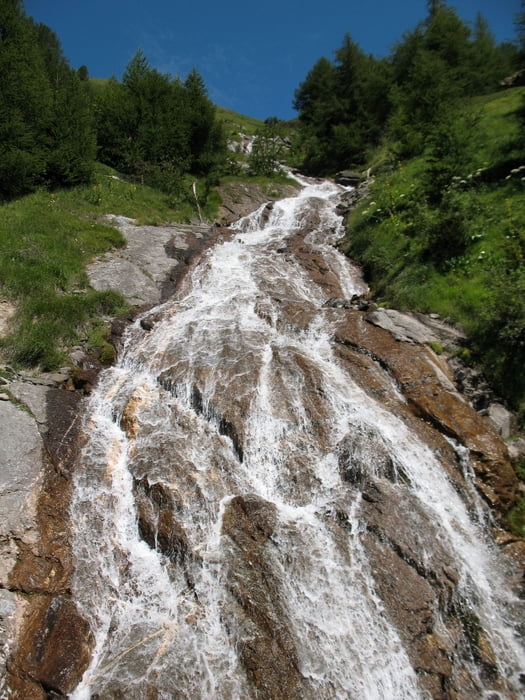
Partenza da Pre Saint Didier
GPS tracks
Trackpoints-
GPX / Garmin Map Source (gpx) download
-
TCX / Garmin Training Center® (tcx) download
-
CRS / Garmin Training Center® (crs) download
-
Google Earth (kml) download
-
G7ToWin (g7t) download
-
TTQV (trk) download
-
Overlay (ovl) download
-
Fugawi (txt) download
-
Kompass (DAV) Track (tk) download
-
Karta trasy (pdf) download
-
Original file of the author (gpx) download
More about the tour author
|
|
emmegi |
Add to my favorites
Remove from my favorites
Edit tags
Open track
My score
Rate