Login

Zapomniałeś swój login?

Cookies have to be accepted!
Your browser's cookie functionality is disabled. Please enable this functionality.

Not a member yet?

Register now
Login

Available for registred users only

Log in to use this feature.

Zapomniałeś swój login?

Cookies have to be accepted!
Your browser's cookie functionality is disabled. Please enable this functionality.

Not a member yet?

Register now
Filter
Kategorie
Advanced filters
  • Długość (km)
  • Wysokość
Zapisz filtr Reset filter

TrackRank

QRCode

Technical data

Długość73,5 km Wysokość1426 m Way down1421 m Czas trwania04:00 h:m Data18.08.2011
Oceny Author User Krajobraz Czynnik zadowolenia Kondycja Technika

Statystyka

645 Widoki 2 Oceny 77 Downloads / Pliki do pobrania 4.50 Przeciętnie
Rate
  • Karta trasy
  • Dojazd
  • Downloads / Pliki do pobrania

hallo, gestartet wird in ketternschwalbach bei der bäckerei gibietz, die übrigens verdammt gute backwaren macht.ein besuch lohnt.

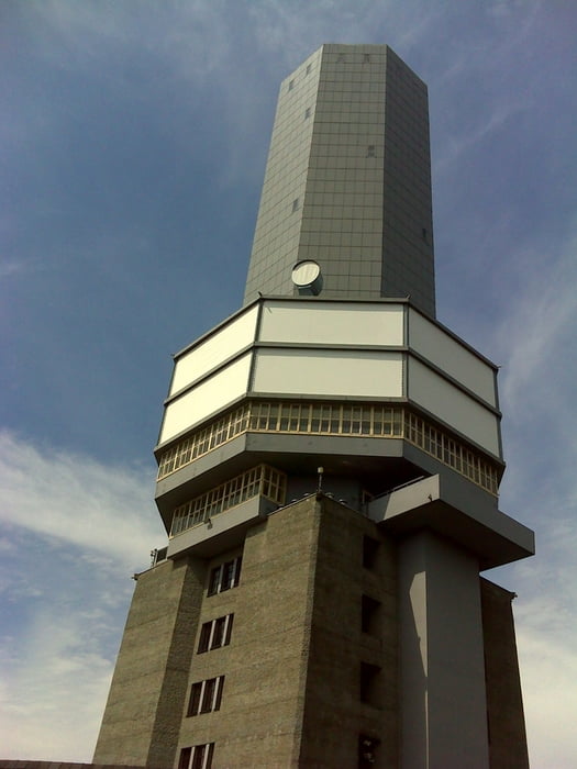
auf dem weg zum feldberg werden schon einige kleinere trails mitgenommen. angekommen auf dem feldberg geht es dann richtig extrem trailig weiter (nichts für pussis). es wird der original liemestrail bis zur alteburg gefahren!!! 

Einfach geniale tour für die, die es etwas härter mögen.


lg

Galeria trasy

Mapa trasy i profil wysokości

  • Open Street Map
  • Google
Minimum height 198 m Maximum height 881 m Widok szczegółowy

More about the tour author

stefanbach
Member since 2011

Send private message

Komentarze

GPS tracks

Trackpoints
  • GPX / Garmin Map Source (gpx) download
  • TCX / Garmin Training Center® (tcx) download
  • CRS / Garmin Training Center® (crs) download
  • Google Earth (kml) download
  • G7ToWin (g7t) download
  • TTQV (trk) download
  • Overlay (ovl) download
  • Fugawi (txt) download
  • Kompass (DAV) Track (tk) download
  • Karta trasy (pdf) download
  • Original file of the author (gpx) download

More about the tour author

stefanbach
Member since 2011

Send private message
Share track
Add to my favorites
Remove from my favorites
Edit tags
My score
Rate
Trasa: Around the Feldberg EXTREM Trailig
Rodzaj: Rower górski (MTB)
Długość: 73,5 km
Evaluated on:
Czas trwania:
Day(s)
Hour(s)
Minute(s)
Ocena: Krajobraz Czynnik zadowolenia Kondycja Technika