


Schöne Biketour rund um den Sparber.
Die Schiebepasage kann auch umfahren werden (siehe Topo).
Von der Strasse bis zum Trail ist alles dabei.
Teilweise steht ein Fahrradverbotschild, dies ist wohl aus haftungstechnischen Gründen.
Ihr fahrt dann auf eigene Gefahr, so hat mir das ein Einheimischer erklärt.
Viel Spaß
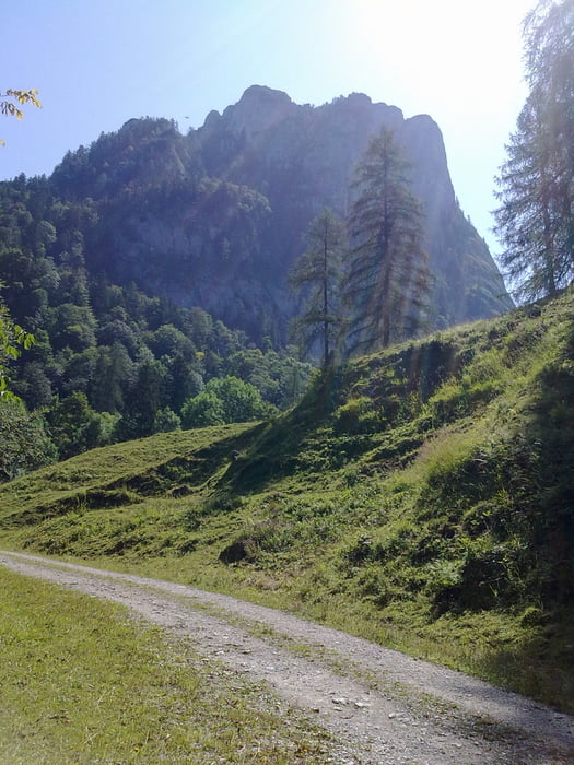
Galeria trasy
Mapa trasy i profil wysokości
Minimum height 532 m
Maximum height 986 m
More about the tour author
|
|
Tom19 |
Komentarze

siehe Daten
GPS tracks
Trackpoints-
GPX / Garmin Map Source (gpx) download
-
TCX / Garmin Training Center® (tcx) download
-
CRS / Garmin Training Center® (crs) download
-
Google Earth (kml) download
-
G7ToWin (g7t) download
-
TTQV (trk) download
-
Overlay (ovl) download
-
Fugawi (txt) download
-
Kompass (DAV) Track (tk) download
-
Karta trasy (pdf) download
-
Original file of the author (gpx) download
More about the tour author
|
|
Tom19 |
Add to my favorites
Remove from my favorites
Edit tags
Open track
My score
Rate