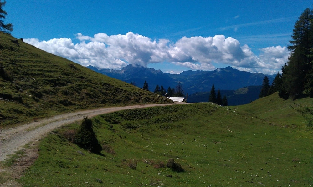
Wir starten am Kreuzberg und fahren zunächst dem Weissensee entlang. Bei der Naggl Alm geht es dann den Berg hoch zur Weissensee Alm und von dort (steil!) runter ins Gitschtal. Im Tal folgen wir dann einem Bach bis Weißbriach, wo uns eine Mountainbike-Strecke (teils deftige Anstiege) wieder rauf zum Kreuzberg führt.
Mapa trasy i profil wysokości
Minimum height 660 m
Maximum height 1473 m
Komentarze

GPS tracks
Trackpoints-
GPX / Garmin Map Source (gpx) download
-
TCX / Garmin Training Center® (tcx) download
-
CRS / Garmin Training Center® (crs) download
-
Google Earth (kml) download
-
G7ToWin (g7t) download
-
TTQV (trk) download
-
Overlay (ovl) download
-
Fugawi (txt) download
-
Kompass (DAV) Track (tk) download
-
Karta trasy (pdf) download
-
Original file of the author (gpx) download
Add to my favorites
Remove from my favorites
Edit tags
Open track
My score
Rate

