Login

Zapomniałeś swój login?

Cookies have to be accepted!
Your browser's cookie functionality is disabled. Please enable this functionality.

Not a member yet?

Register now
Login

Available for registred users only

Log in to use this feature.

Zapomniałeś swój login?

Cookies have to be accepted!
Your browser's cookie functionality is disabled. Please enable this functionality.

Not a member yet?

Register now
Filter
Kategorie
Advanced filters
  • Długość (km)
  • Wysokość
Zapisz filtr Reset filter

TrackRank

QRCode

Technical data

Długość46,2 km Wysokość186 m Way down179 m Czas trwania01:48 h:m Data21.08.2011
Oceny Author User Krajobraz Czynnik zadowolenia Kondycja Technika

Statystyka

404 Widoki 2 Oceny 44 Downloads / Pliki do pobrania 4.00 Przeciętnie
Rate
  • Karta trasy
  • Dojazd
  • Downloads / Pliki do pobrania
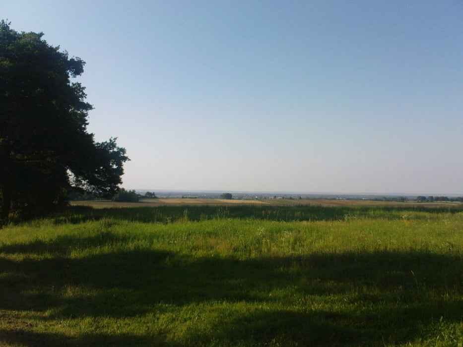
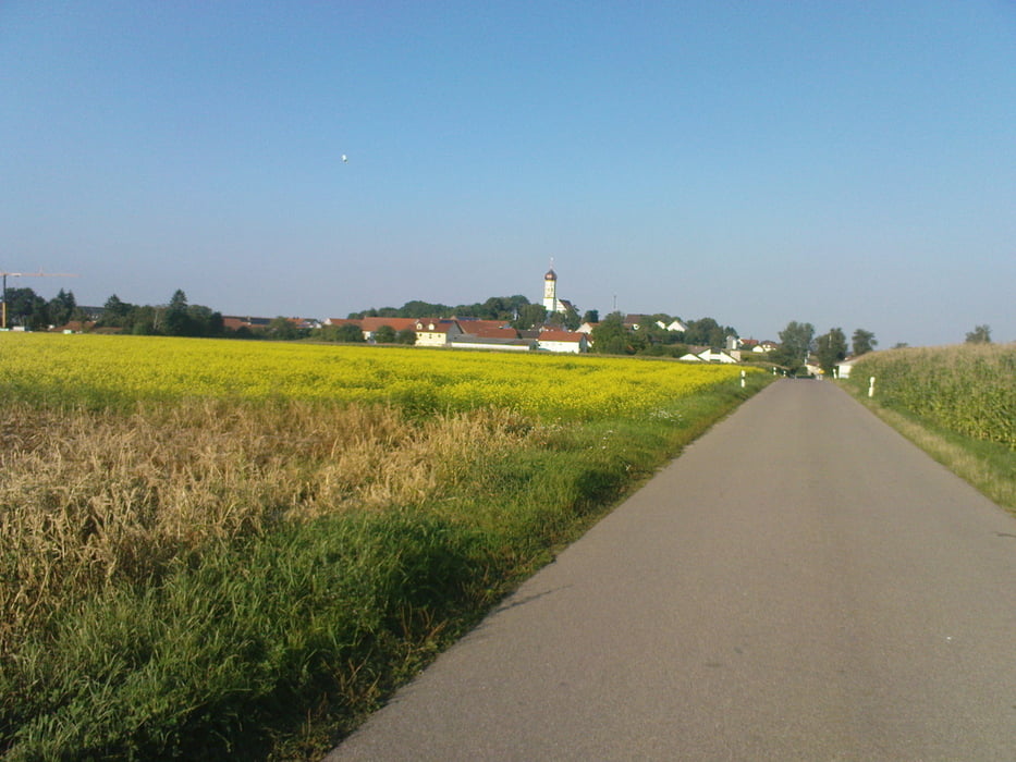
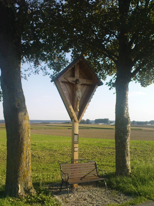
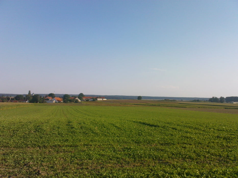
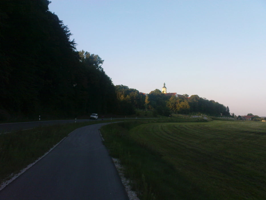
Einfache kurze Runde durchs Spargelland. Einfach zu fahren, ideale Feierabendrunde. Unterwegs kann man in gemütlichen bayrischen Gaststätten eine kurze Pause einlegen. Man kommt auch fast an der berühmten Stelle vom "Mord hinter Kaifeck" vorbei, ist aber mit dem Rennrad schlecht zu erreichen. Wers trotzdem sehen will einfach beim Ortsschild "Kaifeck" links den Feldweg hoch fahren, nach ca 500m kommt eine Gedenkstelle.

Galeria trasy

Mapa trasy i profil wysokości

  • Open Street Map
  • Google
Minimum height 374 m Maximum height 434 m Widok szczegółowy

More about the tour author

Highwayman
Member since 2009

Send private message

Komentarze

Raycota-09 on 16.07.2013

Schöne entspannte Runde...

... mit dem einzigen Manko durch die Schrobenhausener City gen Ende der Tour zu fahren. Das ist nichts gutes für Mensch und Material da Kopfsteinpflaster mit unangenehmen Möglichkeiten zum Verkanten. Davon abgesehen (ist ja wenn man es weiss umfahrbar) sehr schön.
Highwayman on 18.07.2013

Der Grund...

... für die Citydurchfahrt ist die Eisdiele ;-)
Start der Tour ist in Hohenwart beim Edeka. 

GPS tracks

Trackpoints
  • GPX / Garmin Map Source (gpx) download
  • TCX / Garmin Training Center® (tcx) download
  • CRS / Garmin Training Center® (crs) download
  • Google Earth (kml) download
  • G7ToWin (g7t) download
  • TTQV (trk) download
  • Overlay (ovl) download
  • Fugawi (txt) download
  • Kompass (DAV) Track (tk) download
  • Karta trasy (pdf) download
  • Original file of the author (tcx) download

More about the tour author

Highwayman
Member since 2009

Send private message
Share track
Add to my favorites
Remove from my favorites
Edit tags
My score
Rate
Trasa: Schöne Runde durch die Schrobenhausener Umgebung
Rodzaj: Rower szosowy
Długość: 46,2 km
Evaluated on:
Czas trwania:
Day(s)
Hour(s)
Minute(s)
Ocena: Krajobraz Czynnik zadowolenia Kondycja Technika