Login

Zapomniałeś swój login?

Cookies have to be accepted!
Your browser's cookie functionality is disabled. Please enable this functionality.

Not a member yet?

Register now
Login

Available for registred users only

Log in to use this feature.

Zapomniałeś swój login?

Cookies have to be accepted!
Your browser's cookie functionality is disabled. Please enable this functionality.

Not a member yet?

Register now
Filter
Kategorie
Advanced filters
  • Długość (km)
  • Wysokość
Zapisz filtr Reset filter

TrackRank

QRCode

Technical data

Długość36,2 km Wysokość488 m Way down378 m Czas trwania01:50 h:m Data24.06.2007
Oceny Author Krajobraz Czynnik zadowolenia Kondycja Technika

Statystyka

659 Widoki Oceny 70 Downloads / Pliki do pobrania Przeciętnie
Rate
  • Karta trasy
  • Dojazd
  • Downloads / Pliki do pobrania
Weilheim - Aichelberg - Zell - Bad Boll - Betzgenriet - Sparwiesen - Albershausen - Schlierbach - Kirchheim - Weilheim

Further information at

http://www.krisch.de

Galeria trasy

Mapa trasy i profil wysokości

  • Open Street Map
  • Google
Minimum height 256 m Maximum height 426 m Widok szczegółowy

More about the tour author

drache73235
Member since 2007

Send private message

Komentarze

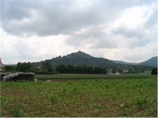
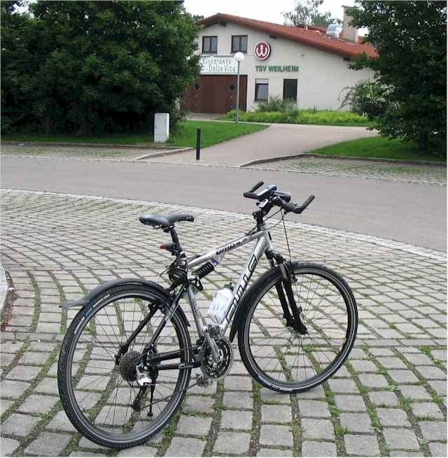
Der Start ist am Parkplatz der Tennisanlage in der Kirchheimer Strasse in Weilheim an der Teck

GPS tracks

Trackpoints
  • GPX / Garmin Map Source (gpx) download
  • TCX / Garmin Training Center® (tcx) download
  • CRS / Garmin Training Center® (crs) download
  • Google Earth (kml) download
  • G7ToWin (g7t) download
  • TTQV (trk) download
  • Overlay (ovl) download
  • Fugawi (txt) download
  • Kompass (DAV) Track (tk) download
  • Karta trasy (pdf) download
  • Original file of the author (g7t) download

More about the tour author

drache73235
Member since 2007

Send private message
Share track
Add to my favorites
Remove from my favorites
Edit tags
My score
Rate
Trasa: Weilheim - Aichelberg - Zell - Bad Boll - Betzgenriet - Sparwiesen - Albershausen - Schlierbach - Kirchheim - Weilheim
Rodzaj: Rower trekkingowy
Długość: 36,2 km
Evaluated on:
Czas trwania:
Day(s)
Hour(s)
Minute(s)
Ocena: Krajobraz Czynnik zadowolenia Kondycja Technika