Login

Zapomniałeś swój login?

Cookies have to be accepted!
Your browser's cookie functionality is disabled. Please enable this functionality.

Not a member yet?

Register now
Login

Available for registred users only

Log in to use this feature.

Zapomniałeś swój login?

Cookies have to be accepted!
Your browser's cookie functionality is disabled. Please enable this functionality.

Not a member yet?

Register now
Filter
Kategorie
Advanced filters
  • Długość (km)
  • Wysokość
Zapisz filtr Reset filter

TrackRank

QRCode

Technical data

Długość57,6 km Wysokość1904 m Way down1863 m Czas trwania05:30 h:m Data22.08.2011
Oceny Author Krajobraz Czynnik zadowolenia Kondycja Technika

Statystyka

1178 Widoki Oceny 126 Downloads / Pliki do pobrania Przeciętnie
Rate
  • Karta trasy
  • Dojazd
  • Downloads / Pliki do pobrania

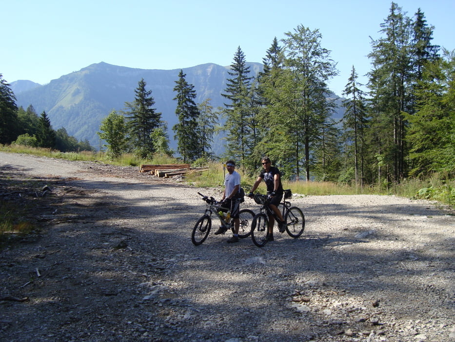
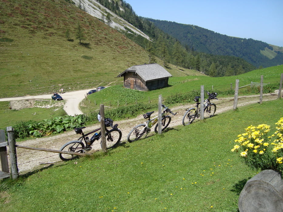
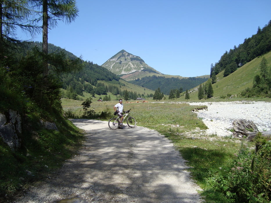
Ausgangspunkt ist ein kleiner Parkplatz in Abersee. Die Tour geht vorwiegend auf  Forststrassen über die Königsbergalm weiter über die Genneralm (erste Einkehrmöglichkeit ,hier wird auch die Aussicht sehr schön)  und der alten Postalmstrasse.

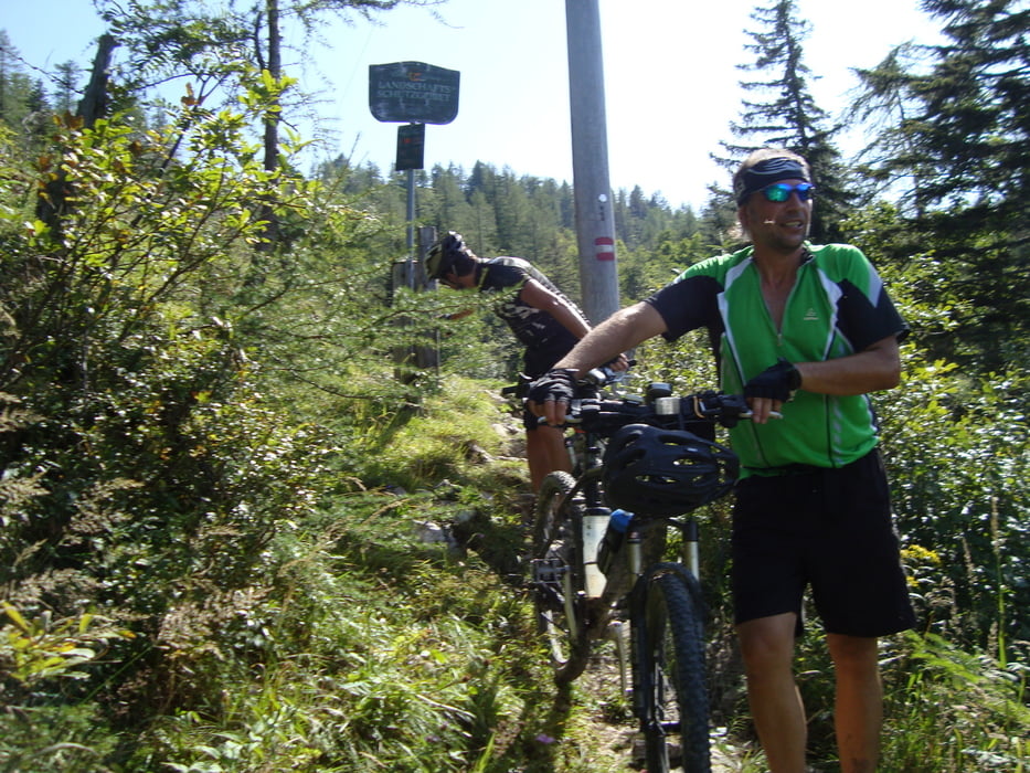
Auf der Postalm muss man einen engen Wanderweg ca. 50 min. Bergauf und Bergab schieben.

Sehr anstrengende Tour für die man sich Zeit nehmen muss.


mehr Bilder :    seppdepp.heim.at


Galeria trasy

Mapa trasy i profil wysokości

  • Open Street Map
  • Google
Minimum height 565 m Maximum height 1491 m Widok szczegółowy

More about the tour author

Atzbach
Member since 2009

Send private message

Komentarze

GPS tracks

Trackpoints
  • GPX / Garmin Map Source (gpx) download
  • TCX / Garmin Training Center® (tcx) download
  • CRS / Garmin Training Center® (crs) download
  • Google Earth (kml) download
  • G7ToWin (g7t) download
  • TTQV (trk) download
  • Overlay (ovl) download
  • Fugawi (txt) download
  • Kompass (DAV) Track (tk) download
  • Karta trasy (pdf) download
  • Original file of the author (gpx) download

More about the tour author

Atzbach
Member since 2009

Send private message
Share track
Add to my favorites
Remove from my favorites
Edit tags
My score
Rate
Trasa: Osterhornrunde ab Abersee
Rodzaj: Rower górski (MTB)
Długość: 57,6 km
Evaluated on:
Czas trwania:
Day(s)
Hour(s)
Minute(s)
Ocena: Krajobraz Czynnik zadowolenia Kondycja Technika