

Donauinsel-Donaukanal-Runde am 07.08.2011
Wir starten am Augarten und fahren zum Donaukanal.
Auf dem Donaukanal fahren wir rechtsseits in Richtung Nußdorf/Klosterneuburg.
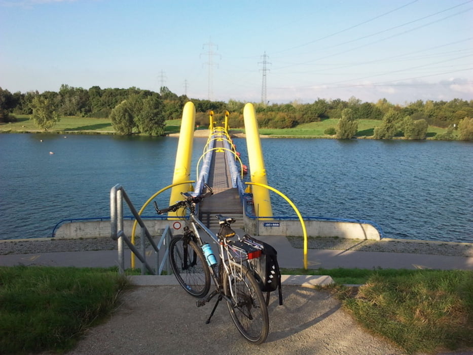
Über den Nordsteg geht es auf die Donauinsel.
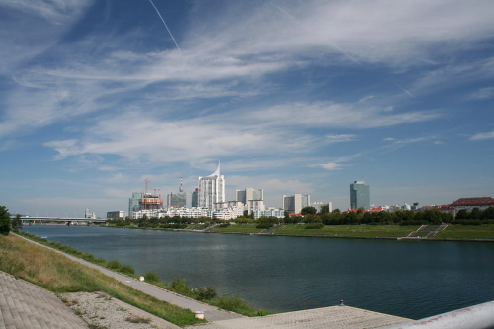
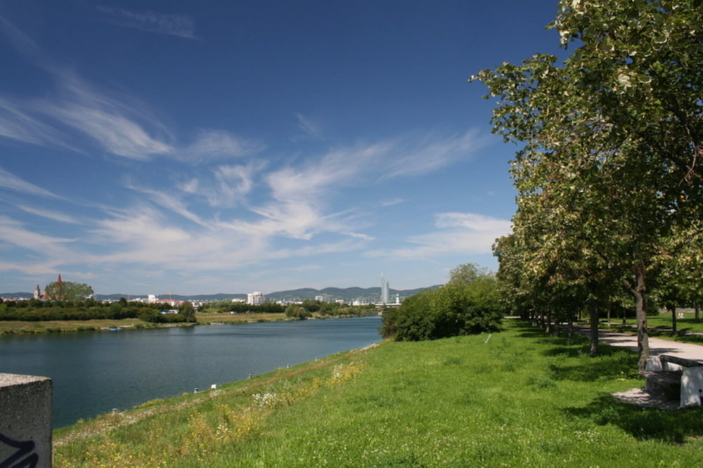
Ein schönes Fleckchen zum Erholen für die Wiener und ihre Gäste. KLASSE.
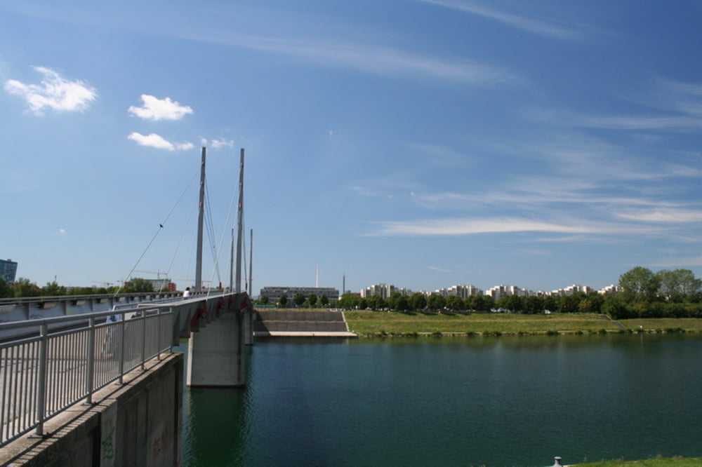
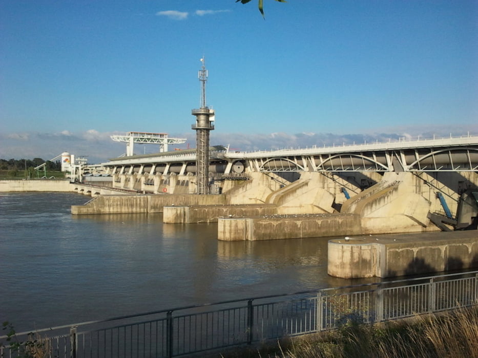
Unterwegs sehen wir viele Wiener beim Sporttreiben. Wir fahren fast bis zum Ende. Beim Kraftwerk Freudenau überqueren wir die Donau und kehren zurück auf´s Festland (!).
Am Donaukanal geht es linksseits in Richtung Zentrum. Am Schwedenplatz gibt es eine Kugel leckeres Eis. Das beste von Wien (so sagt man).
Nach gut 2,5 h Fahrtzeit und 4,5 h Gesamtzeit kommen wir wieder am Augarten an.
Fazit:
- klasse Runde
Galeria trasy
Mapa trasy i profil wysokości
Minimum height 152 m
Maximum height 175 m
More about the tour author
|
|
Stummi |
Komentarze

GPS tracks
Trackpoints-
GPX / Garmin Map Source (gpx) download
-
TCX / Garmin Training Center® (tcx) download
-
CRS / Garmin Training Center® (crs) download
-
Google Earth (kml) download
-
G7ToWin (g7t) download
-
TTQV (trk) download
-
Overlay (ovl) download
-
Fugawi (txt) download
-
Kompass (DAV) Track (tk) download
-
Karta trasy (pdf) download
-
Original file of the author (gpx) download
More about the tour author
|
|
Stummi |
Add to my favorites
Remove from my favorites
Edit tags
Open track
My score
Rate