Login

Zapomniałeś swój login?

Cookies have to be accepted!
Your browser's cookie functionality is disabled. Please enable this functionality.

Not a member yet?

Register now
Login

Available for registred users only

Log in to use this feature.

Zapomniałeś swój login?

Cookies have to be accepted!
Your browser's cookie functionality is disabled. Please enable this functionality.

Not a member yet?

Register now
Filter
Kategorie
Advanced filters
  • Długość (km)
  • Wysokość
Zapisz filtr Reset filter

TrackRank

QRCode

Technical data

Długość9,4 km Wysokość653 m Way down595 m Czas trwania02:00 h:m Data24.08.2011
Oceny Author User Krajobraz Czynnik zadowolenia Kondycja Technika

Statystyka

2817 Widoki Oceny 235 Downloads / Pliki do pobrania Przeciętnie
Rate
  • Karta trasy
  • Dojazd
  • Downloads / Pliki do pobrania
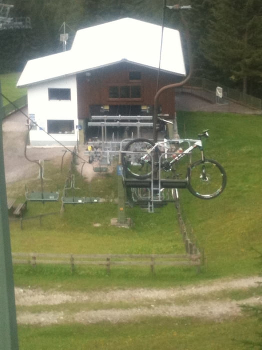
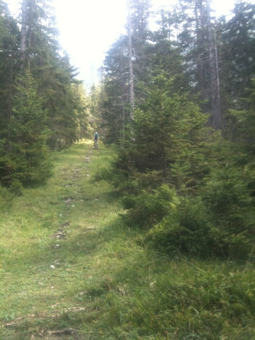
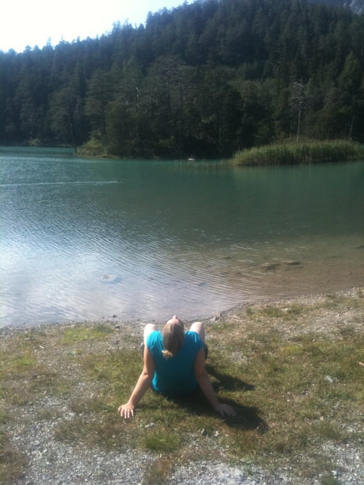
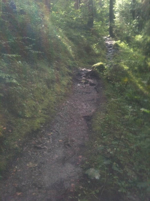
Los gehts an der Talstation Marienberg von der aus wir uns mit der Seilbahn Hochbringen lassen, oben ein kleines Stück runter zur Berghütte, von dort rechts über die Kuhwiese richtung Schlepplift,ab hier SINGLETRAIL bis ins Tal, los gehts mit einer kilmeterlan abfahrt mit halsbrecherischem Gefälle bis wir einen Waldweg kreuzen ab hier Trail mit viel Flow bis ins Tal, noch ein abstecher zum Weisensee und wieder zurück

Galeria trasy

Mapa trasy i profil wysokości

  • Open Street Map
  • Google
Minimum height 1015 m Maximum height 1648 m Widok szczegółowy

More about the tour author

tortie
Member since 2011

Send private message

Komentarze

Start bei der Talstation Marienberg Bergfahrt mit Fahrradtransport ca 20€

GPS tracks

Trackpoints
  • GPX / Garmin Map Source (gpx) download
  • TCX / Garmin Training Center® (tcx) download
  • CRS / Garmin Training Center® (crs) download
  • Google Earth (kml) download
  • G7ToWin (g7t) download
  • TTQV (trk) download
  • Overlay (ovl) download
  • Fugawi (txt) download
  • Kompass (DAV) Track (tk) download
  • Karta trasy (pdf) download
  • Original file of the author (gpx) download

More about the tour author

tortie
Member since 2011

Send private message
Share track
Add to my favorites
Remove from my favorites
Edit tags
My score
Rate
Trasa: Biberwier-Marienberg Singletrail
Rodzaj: Rower górski (MTB)
Długość: 9,4 km
Evaluated on:
Czas trwania:
Day(s)
Hour(s)
Minute(s)
Ocena: Krajobraz Czynnik zadowolenia Kondycja Technika