


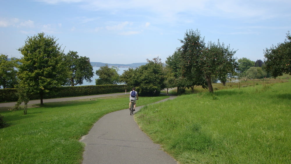
Wunderbare Umrunden des Westteils des Bodensees. Der Radweg folgt in großen Teilen dem "Bodensee-Radweg".
Die abwechlungsreiche Strecke bietet immer wieder Haltemöglichkeiten in den verschiedensten Uferstädten.
Der gesamte Radweg ist in guten Zustand. Einzig kurz nach Oberuhldingen ein sehr kurzes Stück Schotter. Sowie von Litzelstetten zur Insel Mainau und weiter zur Fähre nach Staad. Ich bin ab Mainau ausgewichen. Mit dem Renner jedoch gut zu fahren.
Fähre von Staad nach Meersburg kostet 4,80€ p.P. mit Fahrrad.
Galeria trasy


Mapa trasy i profil wysokości
Minimum height 381 m
Maximum height 527 m
More about the tour author
|
|
mrwaxx |
Komentarze

Im Verlauf der Strecke finden sich überall Parkmöglichkeiten mit oder ohne Gebühr.
Parkplatz in Oberuhldingen 5 Euro Tagesticket.
GPS tracks
Trackpoints-
GPX / Garmin Map Source (gpx) download
-
TCX / Garmin Training Center® (tcx) download
-
CRS / Garmin Training Center® (crs) download
-
Google Earth (kml) download
-
G7ToWin (g7t) download
-
TTQV (trk) download
-
Overlay (ovl) download
-
Fugawi (txt) download
-
Kompass (DAV) Track (tk) download
-
Karta trasy (pdf) download
-
Original file of the author (gpx) download
More about the tour author
|
|
mrwaxx |
Add to my favorites
Remove from my favorites
Edit tags
Open track
My score
Rate