Login

Zapomniałeś swój login?

Cookies have to be accepted!
Your browser's cookie functionality is disabled. Please enable this functionality.

Not a member yet?

Register now
Login

Available for registred users only

Log in to use this feature.

Zapomniałeś swój login?

Cookies have to be accepted!
Your browser's cookie functionality is disabled. Please enable this functionality.

Not a member yet?

Register now
Filter
Kategorie
Advanced filters
  • Długość (km)
  • Wysokość
Zapisz filtr Reset filter

TrackRank

QRCode

Technical data

Długość5,9 km Wysokość150 m Way down126 m Czas trwania04:00 h:m Data26.08.2011
Oceny Author Krajobraz Czynnik zadowolenia Kondycja Technika

Statystyka

276 Widoki Oceny 57 Downloads / Pliki do pobrania Przeciętnie
Rate
  • Karta trasy
  • Dojazd
  • Downloads / Pliki do pobrania

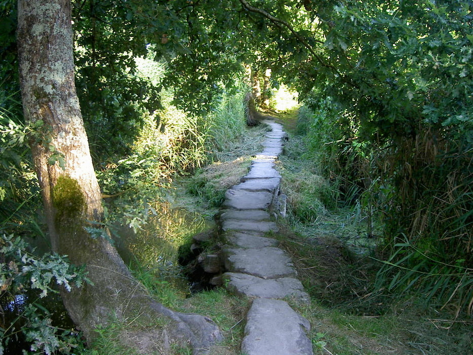
Schöne (kürzere) Wanderung (River Trail). Wenn man dem touristischen Whistler etwas entfliehen möchte, dann ist die Wanderung zu empfehlen. Nicht zu anstregend, aber mal wieder sehr schöne Augenblicke.


detaillierte Tourenbeschreibung folgt (plus weitere Bilder)

Mapa trasy i profil wysokości

  • Open Street Map
  • Google
Minimum height 598 m Maximum height 713 m Widok szczegółowy

More about the tour author

Calvizie
Member since 2009

Send private message

Komentarze

15 km südlich von Whistler (Richtung Vancouver), auf der 99er. Bei der Signalanlage (Ampel) Function Junction, nach links auf den ersten Parkplatz.

GPS tracks

Trackpoints
  • GPX / Garmin Map Source (gpx) download
  • TCX / Garmin Training Center® (tcx) download
  • CRS / Garmin Training Center® (crs) download
  • Google Earth (kml) download
  • G7ToWin (g7t) download
  • TTQV (trk) download
  • Overlay (ovl) download
  • Fugawi (txt) download
  • Kompass (DAV) Track (tk) download
  • Karta trasy (pdf) download
  • Original file of the author (gpx) download

More about the tour author

Calvizie
Member since 2009

Send private message
Share track
Add to my favorites
Remove from my favorites
Edit tags
My score
Rate
Trasa: Whistler (Kanadatour 2011)
Rodzaj: Wędrówki
Długość: 5,9 km
Evaluated on:
Czas trwania:
Day(s)
Hour(s)
Minute(s)
Ocena: Krajobraz Czynnik zadowolenia Kondycja Technika