Login

Zapomniałeś swój login?

Cookies have to be accepted!
Your browser's cookie functionality is disabled. Please enable this functionality.

Not a member yet?

Register now
Login

Available for registred users only

Log in to use this feature.

Zapomniałeś swój login?

Cookies have to be accepted!
Your browser's cookie functionality is disabled. Please enable this functionality.

Not a member yet?

Register now
Filter
Kategorie
Advanced filters
  • Długość (km)
  • Wysokość
Zapisz filtr Reset filter

TrackRank

QRCode

Technical data

Długość35,1 km Wysokość727 m Way down734 m Czas trwania03:00 h:m Data26.08.2011
Oceny Author Krajobraz Czynnik zadowolenia Kondycja Technika

Statystyka

207 Widoki Oceny 64 Downloads / Pliki do pobrania Przeciętnie
Rate
  • Karta trasy
  • Dojazd
  • Downloads / Pliki do pobrania

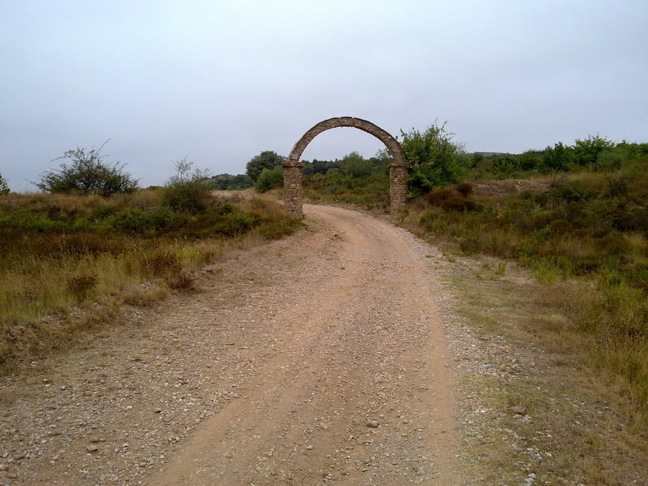
 Dieses Tour führt durch die Pisten von "Sainte Colombe la Commanderie" nach "Saint Colombe de las Illas". Der Tour ist zwar kurz, aber anstrengend, da die Fahrt durch die Piste (etwa die Hälfte) aus viele Ausstiege und Abstiege besteht.


Mapa trasy i profil wysokości

  • Open Street Map
  • Google
Minimum height 98 m Maximum height 609 m Widok szczegółowy

More about the tour author

francbalt
Member since 2011

Send private message

Komentarze

GPS tracks

Trackpoints
  • GPX / Garmin Map Source (gpx) download
  • TCX / Garmin Training Center® (tcx) download
  • CRS / Garmin Training Center® (crs) download
  • Google Earth (kml) download
  • G7ToWin (g7t) download
  • TTQV (trk) download
  • Overlay (ovl) download
  • Fugawi (txt) download
  • Kompass (DAV) Track (tk) download
  • Karta trasy (pdf) download
  • Original file of the author (gpx) download

More about the tour author

francbalt
Member since 2011

Send private message
Share track
Add to my favorites
Remove from my favorites
Edit tags
My score
Rate
Trasa: Die zwei Sainte Colombe
Rodzaj: Rower górski (MTB)
Długość: 35,1 km
Evaluated on:
Czas trwania:
Day(s)
Hour(s)
Minute(s)
Ocena: Krajobraz Czynnik zadowolenia Kondycja Technika