

Blautal / BW ► Tour 2 - 34,1 Km • 714 Hm
Die Tour beginnt in Blaustein (Nähe Ulm) am Bad Blau (genügend Parkplätze vorhanden). Auf teils Asphalt, Wiesenwegen, Forstwegen und vielen Singletrails, führt die Tour durch die Orte Blaustein - Weidach - Wippingen - Arnegg und Herrlingen. Nach einer Fahrzeit von ca.3 - 3,5 Stunden, erreicht man den Ausgangspunkt in Blaustein / Bad Blau.
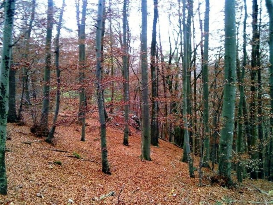
Da man immer wieder mit grandiosen, landschaftlich sehr reizvollen Ausblicken belohnt wird, ist ein Trip in das Blautal jederzeit empfehlenswert.
Galeria trasy


Mapa trasy i profil wysokości
Minimum height 500 m
Maximum height 673 m
More about the tour author
|
|
Michael_Schneider |
Komentarze

»Siehe Routenplaner«
GPS tracks
Trackpoints-
GPX / Garmin Map Source (gpx) download
-
TCX / Garmin Training Center® (tcx) download
-
CRS / Garmin Training Center® (crs) download
-
Google Earth (kml) download
-
G7ToWin (g7t) download
-
TTQV (trk) download
-
Overlay (ovl) download
-
Fugawi (txt) download
-
Kompass (DAV) Track (tk) download
-
Karta trasy (pdf) download
-
Original file of the author (gpx) download
More about the tour author
|
|
Michael_Schneider |
Add to my favorites
Remove from my favorites
Edit tags
Open track
My score
Rate