Login

Zapomniałeś swój login?

Cookies have to be accepted!
Your browser's cookie functionality is disabled. Please enable this functionality.

Not a member yet?

Register now
Login

Available for registred users only

Log in to use this feature.

Zapomniałeś swój login?

Cookies have to be accepted!
Your browser's cookie functionality is disabled. Please enable this functionality.

Not a member yet?

Register now
Filter
Kategorie
Advanced filters
  • Długość (km)
  • Wysokość
Zapisz filtr Reset filter

TrackRank

QRCode

Technical data

Długość75,8 km Wysokość1150 m Way down1150 m Czas trwania03:45 h:m Data30.08.2011
Oceny Author Krajobraz Czynnik zadowolenia Kondycja Technika

Statystyka

327 Widoki Oceny 90 Downloads / Pliki do pobrania Przeciętnie
Rate
  • Karta trasy
  • Dojazd
  • Downloads / Pliki do pobrania

Schöne Radtour von der Roussillon bis in das erste Gebirge der Pyrenäen.

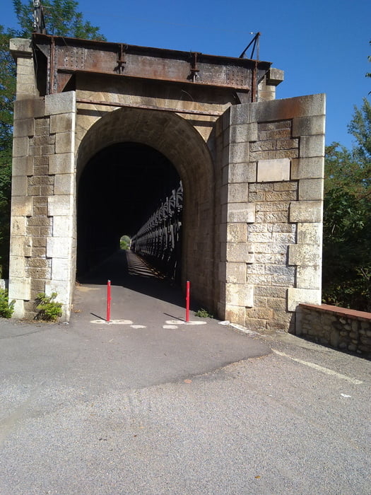
Der Teil zwischen Terrats und Cameilles ist eine Piste. Danach sind es wenig befahrende Straßen (außer der Teil zwischen Le Pont de Reynès und Céret). Unterwegs sind verschiedene Kappellen zu sehen: Saint Amand (nach Les Hostalets), La Trinité (nach de Col de Fourou), Ermittage St Ferrol (nach Céret).


Galeria trasy

Mapa trasy i profil wysokości

  • Open Street Map
  • Google
Minimum height 90 m Maximum height 773 m Widok szczegółowy

More about the tour author

francbalt
Member since 2011

Send private message

Komentarze

GPS tracks

Trackpoints
  • GPX / Garmin Map Source (gpx) download
  • TCX / Garmin Training Center® (tcx) download
  • CRS / Garmin Training Center® (crs) download
  • Google Earth (kml) download
  • G7ToWin (g7t) download
  • TTQV (trk) download
  • Overlay (ovl) download
  • Fugawi (txt) download
  • Kompass (DAV) Track (tk) download
  • Karta trasy (pdf) download
  • Original file of the author (gpx) download

More about the tour author

francbalt
Member since 2011

Send private message
Share track
Add to my favorites
Remove from my favorites
Edit tags
My score
Rate
Trasa: Amélie - Céret
Rodzaj: Rower górski (MTB)
Długość: 75,8 km
Evaluated on:
Czas trwania:
Day(s)
Hour(s)
Minute(s)
Ocena: Krajobraz Czynnik zadowolenia Kondycja Technika