

Diese Tour ist eine reine Genusstour, hier haben Raser nix verloren ;-)
Galeria trasy


Mapa trasy i profil wysokości
Minimum height 664 m
Maximum height 1239 m
More about the tour author

|
haryl |
Komentarze

Stranig - Stöfflerberg - Wassertheurerberg
Die Tour geht von Stranig nach Kirchbach wo man links neben dem Gasthaus Galob hinauf nach Stöfflerberg fährt. Nach dem Stöfflerberg geht gleich in der nächsten links Kehre der Weg weg nach Wassertheuererberg. Von dort dann über einen voll lässigen Waldweg runter.
Kirchbach - Forst - Reisach
In Kirchbach fährt man dann auf die "Leitn". Einfach nach der Brücke in Richtung Kötschach rechts abbiegen.
Dann geht nach etwa 1km eine kleiner Weg weg Richtung Forst (Achtung nicht die erste Hinweistafel nach Forst folgen, erst die Zweite)
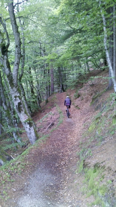
Von da an gibt es nichts mehr was für einen Biker offen lässt. Ein Singletrail mit einem Panorama übers Gailtal. Zur richtigen Jahreszeit wird man dann oberhalb von Forst(bevor man nach Forst kommt) mit sehr leckeren Himberen belohnt.
GPS tracks
Trackpoints-
GPX / Garmin Map Source (gpx) download
-
TCX / Garmin Training Center® (tcx) download
-
CRS / Garmin Training Center® (crs) download
-
Google Earth (kml) download
-
G7ToWin (g7t) download
-
TTQV (trk) download
-
Overlay (ovl) download
-
Fugawi (txt) download
-
Kompass (DAV) Track (tk) download
-
Karta trasy (pdf) download
-
Original file of the author (gpx) download
More about the tour author
|
|
haryl |
Add to my favorites
Remove from my favorites
Edit tags
Open track
My score
Rate