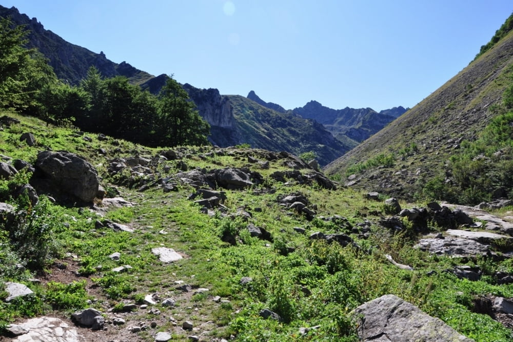
Trinita - Sabione - Tenda - Rif. Barbera
Further information at
http://randypanguitch.wordpress.com/alpenx-mit-dem-mtb/2011_westalpentour/2011_westalpen_tag_06/Galeria trasy
Mapa trasy i profil wysokości
Minimum height 1066 m
Maximum height 2327 m
Komentarze
GPS tracks
Trackpoints-
GPX / Garmin Map Source (gpx) download
-
TCX / Garmin Training Center® (tcx) download
-
CRS / Garmin Training Center® (crs) download
-
Google Earth (kml) download
-
G7ToWin (g7t) download
-
TTQV (trk) download
-
Overlay (ovl) download
-
Fugawi (txt) download
-
Kompass (DAV) Track (tk) download
-
Karta trasy (pdf) download
-
Original file of the author (gpx) download
Add to my favorites
Remove from my favorites
Edit tags
Open track
My score
Rate


Wasser & Einkehrmöglichkeiten
Wir fahren am Wochenende ganz ähnlich wie ihr, wollen der Originalroute von Serac Joe ab Susa folgen.
Dazu hätte ich ein paar Fragen an Dich.
Die Gegend scheint ja teilweise ziemlich einsam zu sein. Gibt es unterwegs genug Wasser? Hattet Ihr da Probleme?
Gibt es in der Gegend Col Sabbione und Fort Central einen Möglichkeit einzukehren?
Das würde gut in unseren Tagesplan passen.
Insgesamt scheint es ja rechts Anspruchsvoll zu sein. Viele Schiebestücke und teilweise keine Wege.
Hattet Ihr Probleme mit der Navigation? Wir haben zum Garmin noch IGC-Karten mit. Welche habe Ihr benutzt.
Ich würde mich freuen, wenn du mir nach ein paar Infos schicken könntest.
Viele Grüße aus Köln
Peter