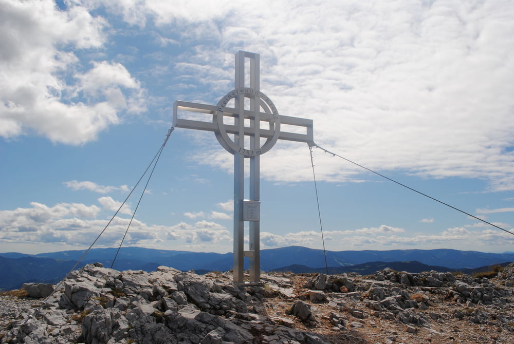
Erweiterung der Wanderung vom 11.08.2011.Wanderung zum Ottohaus wie beschrieben.Dann blau markiert über den Kammweg bis zum Preinerkreuz.und weiter Abstieg zur Neuen Seehütte.Gute Hausmannskost.Zurück über den Seeweg bis zum Ottohaus und weiter zur Bergstation.Gesamtgehzeit enthällt reichlich Pausen für Mittagessen und Jause!!
Further information at
http://www.oetk.at/index.htm?/huetten/26.htmGaleria trasy
Mapa trasy i profil wysokości
Minimum height 1433 m
Maximum height 1793 m
Komentarze

GPS tracks
Trackpoints-
GPX / Garmin Map Source (gpx) download
-
TCX / Garmin Training Center® (tcx) download
-
CRS / Garmin Training Center® (crs) download
-
Google Earth (kml) download
-
G7ToWin (g7t) download
-
TTQV (trk) download
-
Overlay (ovl) download
-
Fugawi (txt) download
-
Kompass (DAV) Track (tk) download
-
Karta trasy (pdf) download
-
Original file of the author (gpx) download
Add to my favorites
Remove from my favorites
Edit tags
Open track
My score
Rate

